
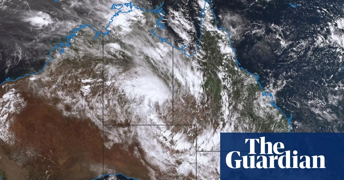
A lingering monsoon low could deliver a year’s worth of rain in a week to parts of inland South Australia, Queensland and New South Wales, just weeks after record-breaking heat, with a high risk of flash flooding, the Bureau of Meteorology has warned.
Severe weather warnings have been issued for Tuesday for north-western NSW, central and northern Victoria, north-east SA and south-western Queensland, with heavy, locally intense rainfall predicted. Places in north-eastern SA and north-western NSW were expected to receive between 200-300mm of rain over the coming days, with widespread falls of 100-200mm across inland areas.
Outback towns like Marree, about 600km north of Adelaide, could receive more than its average annual rainfall of 142mm after a very dry year with just 37mm recorded throughout 2025. The town had suffered five consecutive days of at least 48C weeks earlier. Communities like Tibooburra and areas north of Broken Hill in NSW and Birdsville in Queensland could also see significant falls.
Further thunderstorms with the potential for heavy rain and flash flooding were possible through central Victoria, including Melbourne, on Tuesday. Several days of showers were also forecast for Sydney from late Wednesday to Sunday. The Indian Pacific tourist train has been turned back to Perth after heavy rain washed away sections of track up to 100m, and the Australian Rail Track Corporation warned repairs could take more than a week.
Heavy rain and flooding were expected to cause more disruptions in the coming days, potentially isolating some communities, but also filling aquifers, rainwater tanks and dams. The rain was falling directly over Kati Thanda-Lake Eyre, which was expected to become 'pretty full' by next week. Elsewhere, Scone in NSW recorded 102.6mm at the airport on Sunday, setting a new record for the highest daily rain in February.




