
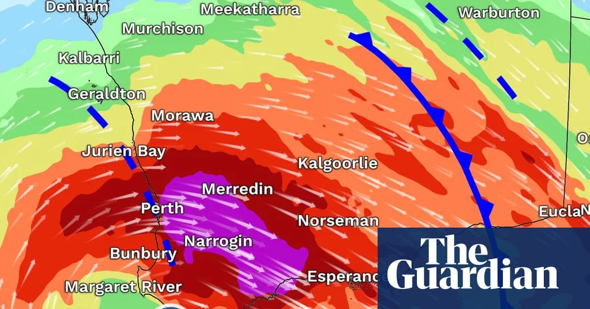
The Bureau of Meteorology has warned residents across Western Australia’s south-west to brace for destructive wind gusts exceeding 125km/h from Saturday evening, equivalent to a category two cyclone. The deep low pressure system is expected to bring thunderstorms, heavy downpours, flash flooding, damaging surf, and even a risk of tornadoes.
Six-hourly rainfall totals of up to 60mm are forecast for central west areas from late Saturday until early Sunday. The entire south-west coastline is under a warning for abnormally high tides and damaging surf. A second round of strong winds, up to 125km/h, is expected on Sunday night between Lancelin and Albany, including Perth.
The storm system will then move east, bringing wintry conditions to South Australia, Victoria, and New South Wales from Monday. Wind gusts of 50km/h are forecast for Melbourne on Monday evening, with possible snow in alpine areas early next week. However, the system’s connection to tropical moisture will break down as it moves east, reducing rainfall.
Despite the wintry blast, the Bureau’s long-range forecast indicates the southern two-thirds of Australia will experience a warmer-than-average winter. Meteorologists are also monitoring the likely development of an El Niño event, which typically brings warmer and drier conditions to eastern Australia during spring.




