
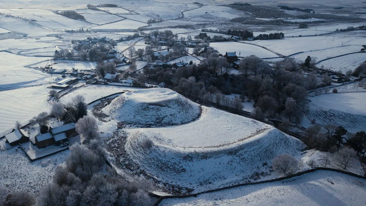
The Met Office has warned that an Arctic blast will bring snow and freezing temperatures to parts of the UK this week, following a period of unseasonably warm weather. Low pressure systems sweeping in from the north west are mixing with Arctic air, leading to wintry conditions in Scotland and northern England.
Weather maps from WXCharts show a band of snow moving in on Wednesday, with much of Scotland expected to see flurries. Areas likely to be affected include the Highlands, Argyll and Bute, Perth and Kinross, and Stirling, as well as surrounding higher inland areas. In England, north and west Yorkshire, Greater Manchester, and Cheshire may also see snow, although it is expected to be lighter.
Temperatures on Wednesday morning are forecast to be close to freezing in Scotland, with lows of 3°C in England. The Met Office warned of possible frost in sheltered spots. Meanwhile, southern regions will experience heavy rain, with Blackpool, Preston, and Blackburn among areas expecting wet weather.
Met Office forecaster Clare Nasir said: “More showers gather towards the north, this is low pressure bringing some unstable air. Those showers will be heavy as we head into Wednesday morning.” She added that showers could turn heavy with a risk of thunder through the day, and that a touch of frost was possible in sheltered spots.
BBC Weather attributed the cold snap to high pressure winds from a northerly direction, bringing air from around the Arctic Circle in northern Scandinavia. Daytime temperatures for most will be much colder than normal, ranging from 9 to 14°C (48-57°F) in many areas.




