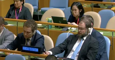
A new nuclear blast map has illustrated the catastrophic consequences of a potential Russian strike on UK cities, following alarming comments from Kremlin propagandist Vladimir Solovyov. The state TV host has repeatedly suggested that President Vladimir Putin could target British cities, including Oxford and Cambridge, in the event of a nuclear conflict.
Solovyov, who is paid to promote Kremlin narratives, recently claimed that if Ukraine receives Tomahawk long-range missiles, as hinted by US President Donald Trump, the West could face a nuclear standoff similar to the Cuban Missile Crisis. He boasted that 'if the United Kingdom is wiped out, I think the whole of humanity will applaud'.
The Nuke Map tool, created by nuclear weapons professor Alex Wellerstein of the Stevens Institute of Technology, simulates the effects of an 800-kiloton nuclear weapon from Russia's arsenal. If dropped on Cambridge, the fireball would vaporise an area of 2.97 km², including the university campus and suburbs such as Grantchester, Milton, and Teversham.
The moderate blast damage radius would cover 134 km², causing widespread building collapse and fires. The map warns that at 5 psi overpressure, 'most residential buildings collapse, injuries are universal, fatalities are widespread'. A further 384 km² would suffer third-degree burns, with severe scarring and potential amputations.
Oxford would face a similarly devastating outcome, with its city centre and university instantly vaporised, and damage extending to Woodstock and Bicester. The International Commission on Radiological Protection advises that the best protection during a nuclear blast is to get inside the centre of a building or basement.