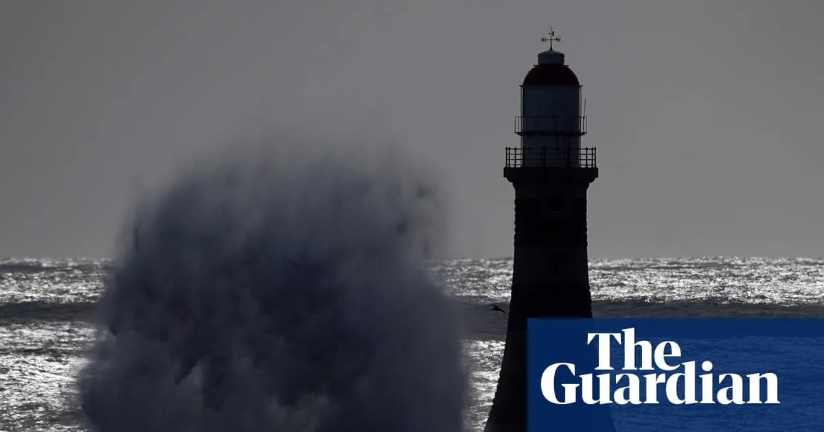
The Met Office has issued a yellow weather warning for strong winds across 59 areas of the UK this Easter weekend, with gusts of up to 90mph expected in some parts. The warning covers Scotland, Northern Ireland, and northern parts of England and Wales from 6pm on Saturday until midday on Sunday.
Forecasters predict widespread gusts of 50-60mph, rising to 60-70mph in exposed locations and 80-90mph in western Scotland. The winds are driven by a “significant cold plunge from Canada into the North Atlantic”, which is strengthening the jet stream and creating a deep low-pressure system.
Travel disruption is likely, with delays and possible cancellations to road, rail, air, and ferry services. High-sided vehicles on exposed routes and bridges may face delays, and some roads and bridges could close. Power cuts and damage to buildings, such as roof tiles being blown off, are also possible.
There is a small risk of injuries from large waves and beach material being thrown onto seafronts, coastal roads, and properties. The Met Office’s deputy chief meteorologist, Dan Holley, said the winds should gradually ease through Easter Sunday as the low-pressure system clears to the North Sea.
Meanwhile, figures from the Met Office show March was provisionally one of the warmest on record in England and Wales, with Wales recording its joint fourth warmest March and England its joint sixth warmest since 1884. However, a north-south split in rainfall saw southern England receive 37% less rain than average, while northern England and Scotland had 14% and 19% above average rainfall respectively.