The United Nations has warned that a new El Niño weather pattern could begin within weeks, potentially becoming one of the strongest on record. The World Meteorological Organization stated that the event is likely to strengthen over the rest of 2026, driving more extreme weather globally. Several national weather agencies suggest it could end up as a so-called 'super' El Niño.
Sea surface temperatures in the central Pacific have warmed significantly since December, with a huge wave of unusually warm water—more than 6°C above average in places—moving eastwards hundreds of metres deep. This deep-sea heat is often a precursor to warmer surface waters, which then disrupt weather patterns worldwide. 'We're very confident that there's a big event coming,' said Prof Adam Scaife of the UK Met Office. 'It may even be a record event.'
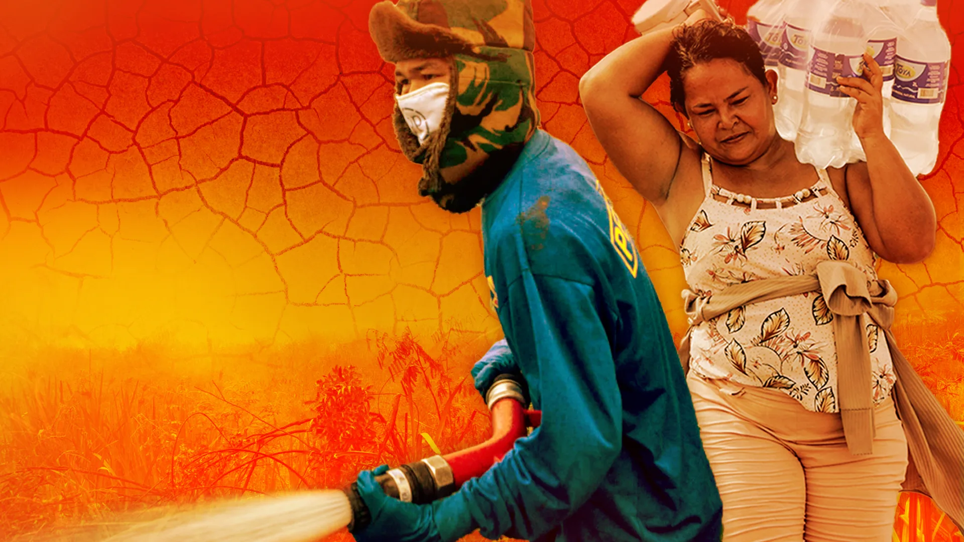
UN Secretary General António Guterres warned that 'El Niño conditions will pour fuel on the fire of a warming world.' A strong El Niño typically fuels hot, dry weather in parts of South America, Southeast Asia and Australia, raising the risk of droughts and wildfires. It can also weaken the Indian monsoon and bring drier conditions to the Greater Horn of Africa, while increasing flood risks in the southern US.
Past events have been linked to spikes in food prices and trillions of dollars in lost income globally. However, predicting the exact timing and strength remains challenging, as El Niño is sensitive to wind patterns. Even if it falls short of 'super' territory, the consequences could be extreme because the planet is already hotter due to climate change.