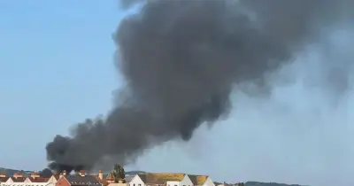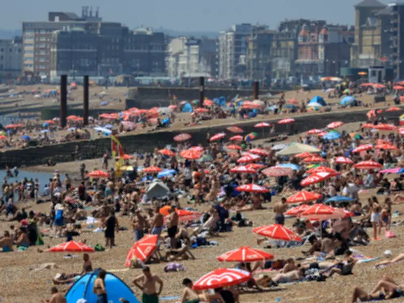
The UK could be bracing for another heatwave in the coming days, with Met Office forecasts and weather models suggesting temperatures may soar to 37°C once again. June temperature records tumbled on three straight days last week, peaking at 37.3°C on Friday, June 26. Many areas of England and Wales found themselves under either red warnings for extreme heat or amber alerts, with the Met Office urging the public to take various protective steps during the unusually scorching spell.
The mercury finally dipped to more bearable levels on Sunday, June 28, returning temperatures nearer to typical ranges for this period of the year. However, don't stash away your cooling devices just yet, as more blistering days loom on the horizon.
Forecast for July 8 Peak
Sophisticated weather modelling charts from wxcharts.com indicate London and its surrounding regions could face highs of up to 37°C on July 8. Districts across the South East, South West, East of England, the Midlands, Yorkshire and the Humber, and North West will also experience temperatures spanning between 30°C and 36°C.

The mercury will begin climbing once more on Sunday, July 5, when temperatures are forecast to exceed the 30°C threshold in London. Soaring conditions will then progressively intensify throughout England and Wales, reaching their peak on the evening of July 8, reports the Mirror.
Extended Warm Spell
Based on wxcharts.com projections, temperatures will stay above 30°C in London and neighbouring areas until July 11. They will subsequently drop back below the 30°C mark. Providing a forecast for July 4 to July 13 across the nation, the Met Office said: "High pressure will dominate across England and Wales over the weekend, bringing dry and warm conditions with plenty of sunshine for most. Scotland and Northern Ireland will probably see more cloud this weekend, with periods of rain mainly affecting western Scotland at times."
"Into the following working week, high pressure remains slow moving over England and Wales, perhaps extending northwards to bring drier and warmer weather to Scotland and Northern Ireland. Winds will be light to moderate for most, though stronger around northern hills and coasts near low pressure systems. Temperatures will rise through the period, perhaps becoming very warm or hot in places."
Outlook for Late July
Comparable weather patterns are expected to persist for the remainder of the month. For the period spanning July 13 to July 27, the Met Office stated: "High pressure is more likely than low pressure at the start of this period, bringing a greater chance of settled and drier conditions. Occasionally this dry and warm weather could be interrupted by outbreaks of rain with stronger winds, this most likely further north if this occurs. As is typical for the time of year, there remains a risk of heavy, thundery showers during any warm spells."
"Towards the end of July there is a slight preference for a continuation of high pressure to dominate, however confidence at this range is naturally low. In any case, temperatures are likely to be above average overall, with a greater than normal chance of hot conditions developing at times."