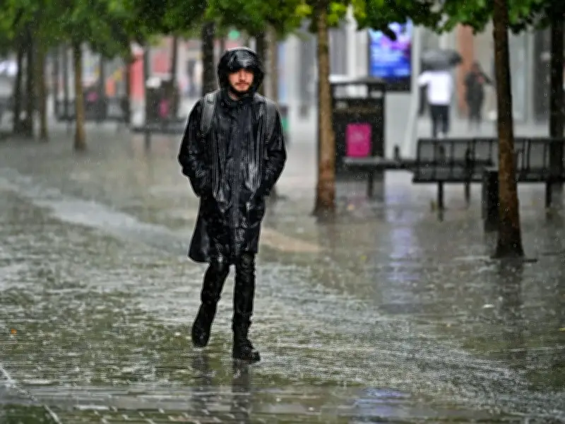
The Met Office has issued two yellow thunderstorm warnings covering 32 areas across Scotland, with forecasters warning of heavy downpours, frequent lightning, gusty winds, and large hail up to 4cm in diameter. The warnings come as temperatures are expected to soar to 31C in Dumfries this afternoon, creating a stark contrast for Scots who will need both sunscreen and umbrellas.
First Warning: Thursday Afternoon and Evening
The first yellow warning begins at 3pm on Thursday, June 25, and remains in place until 11:59pm. It affects north-west Scotland, including the Orkney Islands, parts of the Highlands, and Argyll and Bute. According to the Met Office, rain will become heavier, more persistent, and more widespread during Thursday afternoon and evening, with thunderstorms potentially developing in some places.
Rainfall amounts will be highly variable, but the forecaster predicts narrow corridors of 20-30mm falling in one hour, and potentially 30-50mm in three hours. Stronger storms could also bring frequent lightning, gusty winds, and large hail up to 4cm in diameter.

Second Warning: Friday Nationwide
The first warning carries into a second yellow alert that covers the entirety of Scotland from midnight on Friday, June 26, until 11:59pm that evening. The Met Office warns that travel delays and cancellations may occur due to flooding or lightning strikes. There is a small chance that some communities could be cut off by flooded roads, and others may experience power cuts.
Residents are advised to prepare by digging out torches, batteries, portable chargers, and other essential items. The Friday warning states: "Spells of heavy rain and thunderstorms initially over northwest Scotland are likely to become more widespread during Friday morning. Further thunderstorms and spells of heavy rain are possible in the afternoon before becoming confined to more northern areas of Scotland later in the day."
Safety Advice
If Scots find themselves outside and hear thunder, they should protect themselves by finding a safe enclosed shelter, such as a car. It is crucial to avoid sheltering under or near trees or other structures that may be struck by lightning. Those in elevated areas should move to lower ground. With gusty winds also forecast, the Met Office urges people to secure moveable objects or temporary structures, including bins, garden furniture, trampolines, tents, gazebos, sheds, and fences, to protect property and others from harm. If travel is necessary, drivers should check road conditions ahead of their journey, and public transport users should look out for schedule changes or cancellations.

Areas Affected by Thursday Warning
- Grampian: Moray
- Highlands & Eilean Siar: Highland
- Orkney & Shetland: Orkney Islands
- Strathclyde: Argyll and Bute
Areas Affected by Friday Warning
- Central, Tayside & Fife: Angus, Clackmannanshire, Dundee, Falkirk, Fife, Perth and Kinross, Stirling
- Grampian: Aberdeen, Aberdeenshire, Moray
- Highlands & Eilean Siar: Na h-Eileanan Siar, Highland
- Orkney & Shetland: Orkney Islands
- SW Scotland, Lothian Borders: Dumfries and Galloway, East Lothian, Edinburgh, Midlothian Council, Scottish Borders, West Lothian
- Strathclyde: Argyll and Bute, East Ayrshire, East Dunbartonshire, East Renfrewshire, Glasgow, Inverclyde, North Ayrshire, North Lanarkshire, Renfrewshire, South Ayrshire, South Lanarkshire, West Dunbartonshire