A 440-year-old world map has intensified the hunt for Noah's Ark after researchers claimed a tiny drawing on it “matches” fresh high-tech scans of a boat-shaped mound in Turkey.
The map is the 1587 Planisphere by Italian nobleman and cartographer Urbano Monte. It is a 60-sheet masterpiece that forms a 10-foot-wide circle when assembled, filled with illustrations of continents, unexplored lands and mythical monsters, and arranged with the North Pole at the centre. It is kept at Stanford University's David Rumsey Map Center.
One detail has gone viral: Monte appears to have drawn Noah's Ark sitting on the mountains of Ararat, the legendary resting place of the biblical vessel.
Map placement lines up with Durupınar
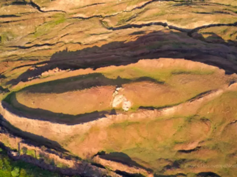
Independent researchers say the Ark sketch is not just decoration, because its placement and implied size appear to line up with the Durupınar Formation in eastern Turkey, a long-debated, ship-shaped geological feature about 18 miles south of Mount Ararat.
Researcher Jimmy Corsetti wrote online: “The same location as the Durupınar site, virtually the exact same length. Coincidence?”
The buzz has resurfaced as an international team of scientists, working with Noah's Ark Scans and the Turkish government, completed new geophysical surveys at Durupınar.
Researchers claim man-made structure confirmed
The researchers claim they have “100% confirmed” the mound is an ancient man-made structure, rather than solid bedrock or natural limestone. According to their findings, the shape is reported to be 157 metres (515 feet) long, which supporters insist matches the Ark's 300-cubit length described in Genesis, the Daily Mail reported.
Ground-penetrating radar has allegedly revealed straight lines, right-angle intersections, parallel compartments, and what looks like a three-level division underground. Noah's Ark Scans also says its radar revealed corridors running through the middle and alongside the inside edge, leading to a central cavity dubbed “the atrium”.
Researcher Andrew Jones said: “God told Noah to bring the animals in. And so these animals would have stayed there, plus Noah and his family.” He added: “What's interesting is that these voids are lining up below the ground - and they're not just random.” He said infrared thermography, a heat-sensing technique, detected “a ship-shaped hull still preserved deep in the soil”.
Core drilling and scepticism
Core drilling has also reportedly found organic matter and soil with 40% higher carbon levels than surrounding terrain, though key tests are still pending, as per the Daily Mail.
Mainstream archaeologists and geologists remain highly sceptical, arguing Durupınar is more likely a natural syncline shaped by mudflows, and that Monte may simply have placed biblical lore where tradition said it belonged.