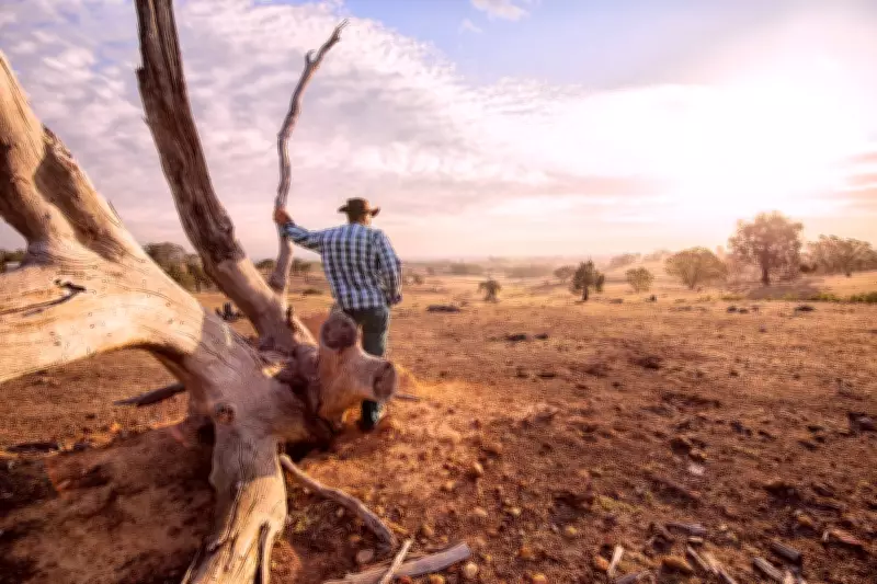
A rare weather pattern dubbed 'Godzilla' El Niño is developing in the Pacific Ocean and is expected to push global temperatures to unprecedented levels later this year and into 2027, scientists have warned. This phenomenon could trigger extreme weather events affecting both people and wildlife.
What is El Niño?
El Niño is a climate phase that typically occurs two to three times per decade, causing spikes in global temperatures and altering rainfall patterns. Scientists at the Met Office and NASA have been monitoring rising sea surface temperatures in the central Pacific, which have recently crossed thresholds indicating the onset of El Niño conditions.
Gabi Hegerl, professor of climate system science at the University of Edinburgh, told The Independent: 'El Niño causes widespread impacts around the world and usually drives global mean temperatures up by exposing more of the ocean surface to warmer waters, so we expect record global mean temperatures.'

Supercharged by Indian Ocean Dipole
The phenomenon is expected to be intensified by a positive Indian Ocean Dipole, another similar weather pattern that typically leads to a longer and drier dry season across Indonesia and Australia, raising fire and drought risks. This combination has led to the term 'Godzilla' El Niño in Indonesia.
Chris Brierly, professor of climate science at University College London, added: 'The forecast is definitely for an El Niño and is on the larger side – whether that counts as a 'Godzilla' El Niño doesn't really matter to someone who's suffering the impacts of it.'
Record-Breaking Potential
Climate forecasters monitor ocean temperature anomalies to predict El Niño. The current readings suggest the 2026-27 event could be the strongest in modern history. El Niño conditions are usually considered imminent when Pacific water temperatures reach 0.5°C above normal; Met Office data shows this threshold has already been breached.
Professor Brierly noted: 'The NASA forecast – I don't think I believe it – but in the plume I'm looking at, NASA's going all the way up to 3.5°C. Either way, this is an event that is coming and is strong.'
Global Weather Impacts
El Niño shifts the region of most convective rainstorms from Indonesia toward the central Pacific, altering atmospheric circulation. This leads to drought in the western Pacific (Indonesia, Philippines, Australia, India) and increased flood risks in coastal Ecuador, Peru, parts of the USA, and Mexico.
Timothy Osborn, professor of climate science at the University of East Anglia, explained: 'If the El Niño is exceptionally strong, which some forecasters predict it will be, then some of these impacts could be very significant with knock-on effects for society such as increased wildfire risk, damaging air quality, and poor harvests in regions where El Niño triggers droughts.'
Timeline and UK Effects
The effects of El Niño typically peak towards the end of the year and end around February. The Met Office agrees that forecast models point towards the 2025-26 El Niño being 'potentially comparable with some of the most impactful episodes in recent decades'.
Jeff Berardelli, chief meteorologist and climate specialist at WFLA-TV in Florida, said: 'I think we're going to see weather events that we've never seen in modern history before.' In the UK, El Niño years tend to increase the likelihood of colder than average winters due to changes in the jet stream, which can bring cold air from the north further south.