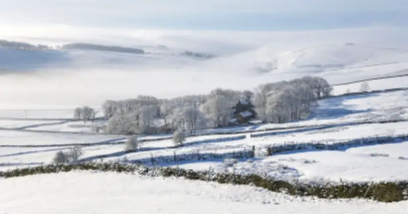
New weather maps suggest snow could hit parts of Britain later this month, with temperatures plunging towards freezing in some northern areas. Britain could face an 18-hour spell of wintry weather later this month, with WXCharts maps showing snow potentially falling across small parts of the country.
Snow near the border
The maps suggest wintry precipitation could reach areas near the England-Scotland border in the early hours of Monday, October 26. The charts show a narrow band of precipitation close to Cumbria and Dumfries and Galloway, with snow possible on higher ground.
Wintry conditions could persist into the morning, potentially lasting until midday, although the maps do not confirm continuous snowfall throughout the 18-hour period.
Temperature outlook
Separate temperature maps suggest Scotland could experience minimum temperatures of around 2C to 5C, with some higher areas dipping to approximately 1C. Meanwhile, much of England and Wales could see overnight temperatures between 5C and 9C, with parts of Northern Ireland falling to around 2C to 5C.
BBC Weather's monthly outlook also suggests the second half of October could be drier than normal across many regions, with occasional rain and stronger winds possible in northern areas.
Met Office forecast
The Met Office's long-range forecast suggests that much of the UK could experience relatively settled conditions during this period, with high pressure expected to dominate.
It states: "High pressure is expected to lie close to or across the UK through much of this period. This likely to result in plenty of fine weather."
"Some rain is still likely at times as more unsettled conditions attempt to move in from the west or southwest at times."
"Overall, drier than normal conditions for the time of year are more likely for most regions."
"Temperatures generally around average, in more settled spells some night frost and morning fog patches are likely."