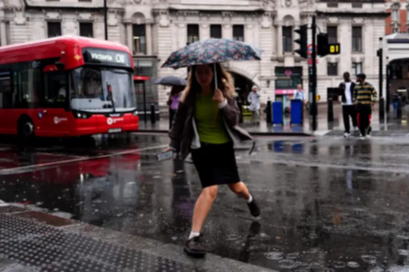
The Met Office has issued a new yellow warning for heavy showers and thunderstorms that could cause travel disruption and flooding across much of England and Wales. The warning is in force from midday until 9pm on Friday.
According to the forecaster, the warning means flooding of a few homes and businesses is likely, trains could be delayed, and car journeys could take longer. The thunderstorm warning covers most of Wales, the West Midlands, Yorkshire and Humber, South West England, North West England, North East England, London, South East England, East of England, and the East Midlands.
Flood Alerts and Warnings in Place
A flood warning has been issued for Walverden Water at Nelson, Lancashire, meaning flooding is expected. Meanwhile, 10 areas are covered by Environment Agency (EA) flood alerts, indicating that floods are possible.

The Met Office says the warning could lead to damage to buildings or structures from flooding or lightning strikes, a short-term loss of power and other services, and driving conditions affected by spray, standing water, or hail. Thunderstorms are expected to bring 10-20mm of rain in a short period in a few places, with the potential for 30-40mm where there are repeated downpours.
Rail Disruption and Dry Conditions
National Rail reported that trains have been disrupted at Knebworth towards London because flood water made the railway potentially unsafe, with disruption expected until 1pm.
The UK has experienced continued hot weather, coinciding with extremely dry conditions. The Met Office has previously said the UK is on course for its hottest summer on record after five heatwaves, with temperatures of up to 38.1C recorded in London. The EA stated that after a National Drought Group meeting on Thursday morning, 71.3% of England remains in drought, and August so far has received only 34% of the expected rainfall.
Filey in North Yorkshire saw the most rainfall with 55mm between 8pm on Thursday and 7am on Friday, according to Met Office spokesman Oli Claydon. Heavy showers are forecast in the South West on Friday, as well as the thunderstorms in the warning area.
Bank Holiday Weekend Forecast
Mr Claydon said: “It’s a rather unsettled bank holiday weekend. Saturday will start for many with a band of rain spreading north-east. That will be replaced by heavy showers with the potential for more thunderstorms, it will also be a windy day, particularly in the south and south-west of England. Sunday, a mix of sunshine and showers, winds will be generally lighter for most places than Saturday. Monday will continue to be changeable, sunny spells and scattered showers, there will be some dry weather around, and breezy conditions.”
Temperatures are likely to reach 20-22C on Saturday, and 20C on Sunday and Monday. Festivalgoers heading to Reading and Leeds, Creamfields, and other live music events have also been warned of unseasonably strong winds.