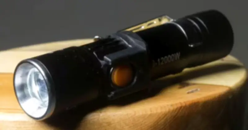
The Met Office has urged households in 38 areas to prepare torches and batteries as Storm Austen threatens to bring power cuts and winds of 70mph or more on Friday.
A yellow weather warning has been issued for parts of England and Wales on October 23, with gusts of 50-60mph possible and winds of 70mph or more potentially hitting some coastal and exposed locations.
Power cut risk and advice
Forecasters warn there is a "slight chance" of power cuts, which could also affect other services including mobile phone coverage. In advice issued alongside the warning, the Met Office said: "People cope better with power cuts when they have prepared for them in advance. It's easy to do; consider gathering torches and batteries, a mobile phone power pack and other essential items."
Britons are advised to keep their mobile phones charged so they can make emergency calls and to keep fridges and freezers closed if the electricity goes off. The Met Office also advises people to look out for elderly neighbours and switch off appliances including irons, ovens, electric fires and fryers, which could pose a hazard when power is restored.
Storm details and impact
The yellow weather warning states: "A period of strong winds may lead to damaging gusts and transport disruption." As well as possible power cuts, forecasters say there is a slight chance of damage to buildings, including tiles being blown from roofs, and a small chance of injuries or danger to life from flying debris.
Road, rail, air and ferry journeys could face longer travel times or cancellations, while some roads and bridges could close. The Met Office said: "Strong west to northwesterly winds may spread across southern parts of England and Wales on Friday."
Gusts of 50-60 mph are possible and some coastal or exposed areas could see 70 mph or more, but at this time there is uncertainty in where the strongest winds will be. "There will be some periods of heavy rain which will make travel more difficult. Whilst it will remain breezy the winds will probably ease late morning into the early afternoon."
Safety precautions and affected areas
People have also been advised to check for loose objects outside their homes and consider securing bins, garden furniture, trampolines, tents, sheds and fences. Those living on the coast have been warned to remain aware of large waves, with the Met Office warning that breaking waves can sweep people off their feet and into the sea.
The warning has a low likelihood of between 10% and 25%, but the potential impact is classed as significant. The full list of 38 areas under the yellow weather warning includes Herefordshire; Brighton and Hove, East Sussex, Hampshire, Isle of Wight, Portsmouth, Southampton and West Sussex; Bath and North East Somerset, Bournemouth Christchurch and Poole, Bristol, Cornwall, Devon, Dorset, Gloucestershire, Isles of Scilly, North Somerset, Plymouth, Somerset, South Gloucestershire, Torbay and Wiltshire; and in Wales, Blaenau Gwent, Bridgend, Caerphilly, Cardiff, Carmarthenshire, Ceredigion, Merthyr Tydfil, Monmouthshire, Neath Port Talbot, Newport, Pembrokeshire, Powys, Rhondda Cynon Taf, Swansea, Torfaen and Vale of Glamorgan.