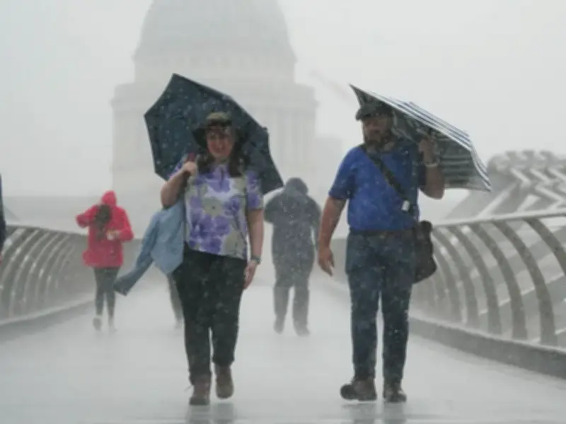
The Met Office has issued a fresh yellow weather warning for thunderstorms covering 64 areas across the UK, with heavy downpours expected to bring flooding, travel disruption and power cuts.
The warning is in place from 12pm until 9pm today and covers major cities including London, Manchester, Birmingham, Leeds and Sheffield.
Full list of affected areas
The warning covers the following areas:
—

- Derby, Derbyshire, Leicester, Leicestershire, Lincolnshire, Northamptonshire, Nottingham, Nottinghamshire, Rutland
- Bedford, Cambridgeshire, Norfolk, Peterborough, Oxfordshire
- Darlington, Durham, Hartlepool, Middlesbrough, Redcar and Cleveland, Stockton-on-Tees
- Blackburn with Darwen, Cheshire East, Cheshire West and Chester, Cumbria, Greater Manchester, Halton, Lancashire, Merseyside, Warrington
- Gloucestershire, Blaenau Gwent, Bridgend, Caerphilly, Carmarthenshire, Ceredigion, Conwy, Denbighshire, Flintshire, Gwynedd, Merthyr Tydfil, Monmouthshire, Neath Port Talbot, Newport, Powys, Rhondda Cynon Taf, Swansea, Torfaen, Wrexham
- Herefordshire, Shropshire, Staffordshire, Stoke-on-Trent, Telford and Wrekin, Warwickshire, West Midlands Conurbation, Worcestershire
- East Riding of Yorkshire, Kingston upon Hull, North East Lincolnshire, North Lincolnshire, North Yorkshire, South Yorkshire, West Yorkshire, York
What to expect
The warning highlights the risk of frequent lightning strikes and heavy rain, which could lead to sudden flooding, travel delays and power interruptions in the affected regions.
This is a breaking news story and further updates will follow as the situation develops.