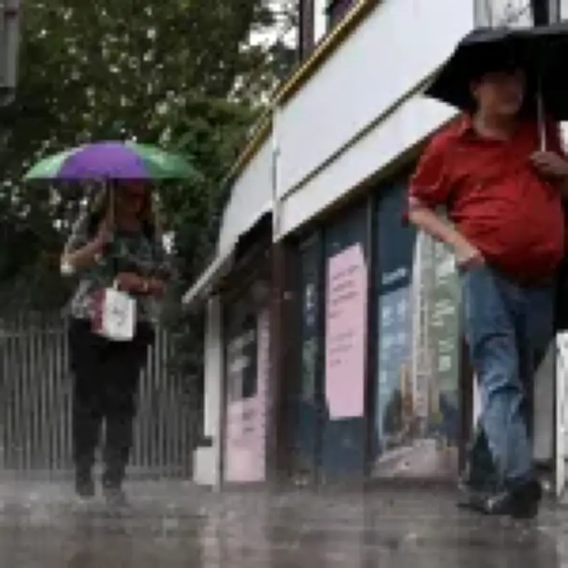
The Met Office has warned that 'intense' thunderstorms and heavy rain across much of England and Wales could cause travel disruption this week.
A band of heavy showers and thunderstorms is expected to move northwards on Wednesday morning. The rain will be a relief for much of the UK, which has been under a severe drought after months of hot weather.
Yellow warnings issued for Wednesday and Thursday
A yellow warning for thunderstorms has been issued from 3am to 10pm on Wednesday across much of England, including London and the South East, the Midlands, East Anglia, and parts of the North West, South West, as well as eastern parts of Wales.

The Met Office warned that showers and thunderstorms on Wednesday afternoon 'may be intense', with 20-30mm rain falling in less than an hour and 40-50mm being possible in two to three hours in a few spots, leading to some surface water flooding.
The weather service said there is a 'small risk of flooding and disruption' from thunderstorms on Wednesday, including possible damage to some buildings from floodwater, lightning strikes or hail. It added that spray and sudden flooding could lead to difficult driving conditions and some road closures. Large hail and frequent lightning are also possible before showers and thunderstorms drift northwards and ease during Wednesday evening.
RAC warns of greater skidding risk
The heavy rainfall could pose risks to drivers from slippery roads, the RAC said, adding that the risk is 'much greater right now as a result of the prolonged dry spell'. It added that oil, fuel and rubber deposits that have built up will now have been mixed together by light rain, instead of being washed away, which means drivers are at greater risk of skidding on greasy roads.
RAC road safety spokesman Rod Dennis said: 'While slippery roads from rainfall is nothing new, the risks to drivers are much greater right now as a result of the prolonged dry spell.'
'Oil, fuel and rubber deposits that have built up over many weeks will now have been mixed together by the light rain, instead of being washed away, which means drivers are at greater risk of skidding on greasy roads.'
'If heavier rain arrives, motorists may have to contend with the danger of flash floods in some areas.'
'For this reason, we urge drivers to reduce their speed in rainfall of any intensity and leave extra space behind the vehicle in front to reduce the chance of avoidable collisions.'
Further warning for Thursday
A further yellow warning for thunderstorms has been issued from 6am to 10pm on Thursday across large parts of England including the Midlands, East Anglia, the North West, Yorkshire, the South West, as well as much of Wales.
The weather service said there is a 'small chance of fast-flowing or deep floodwater causing danger to life'. It added there was also a small chance that homes and businesses could be flooded quickly, with damage to some buildings from floodwater, lightning strikes, hail or strong winds.
The Met Office has advised people to 'ensure moveable objects or temporary structures are well secured' before gusty winds arrive, including bins, garden furniture, trampolines, tents, gazebos, sheds and fences.