The Met Office has issued a yellow weather warning for thunderstorms across 64 areas of England and Wales, with possible power cuts, flooding and travel disruption from 12pm to 9pm today (August 28). Heavy downpours, lightning and hail are expected in some places, and forecasters have warned that "some short-term loss of power and other services is possible" as the unsettled weather sweeps across the country.
Preparation advice from the Met Office
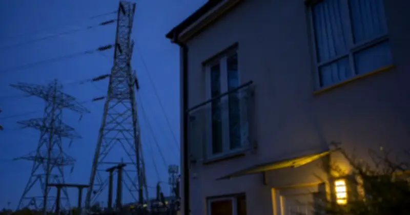
The Met Office said: "People cope better with power cuts when they have prepared for them in advance. It's easy to do; consider gathering torches and batteries, a mobile phone power pack and other essential items."
Thunderstorms are expected to develop during Friday afternoon and evening, although many areas will escape the heaviest rain. Northern England and much of Wales are expected to see the first of the showers and thunderstorms during the early afternoon, before the unsettled weather extends across central and eastern England as the afternoon progresses.

Safety guidance during storms
The Met Office has also issued advice on how people can stay safe when thunderstorms strike. It warns that lightning can cause power surges, which can potentially affect electrical equipment in homes.
The Met Office said: "Lightning can cause power surges, unplug any non-essential appliances if not already using a surge protector. Seek shelter if possible, however, keep away from underground or low-lying spaces such as car parks, basements or underpasses which might flood rapidly."
It added: "When you hear thunder you are already within range of where the next ground flash may occur, lightning can strike as far as 10 miles away from the centre of a storm. During the thunderstorm, telephone lines can conduct electricity so try to avoid using the landline, unless in an emergency."
Rainfall and flooding risk
Forecasters said thunderstorms could bring between 10mm and 20mm of rain in a short period, with 30mm to 40mm possible in places hit by repeated downpours. Lightning and hail are also possible before the heavy showers and thunderstorms gradually ease during Friday evening.
The Met Office has warned of the risk of flooding and damage, saying: "Flooding of a few homes and businesses is likely, leading to some damage to buildings or structures. Possibly some damage to a few buildings and structures from lightning strikes." Drivers could face difficult conditions due to spray, standing water and hail, while delays to train services are also possible.
Full list of 64 areas at risk
East Midlands: Derby, Derbyshire, Leicester, Leicestershire, Lincolnshire, Northamptonshire, Nottingham, Nottinghamshire, Rutland.
East of England: Bedford, Cambridgeshire, Norfolk, Peterborough.
London & South East England: Oxfordshire.
North East England: Darlington, Durham, Hartlepool, Middlesbrough, Redcar and Cleveland, Stockton-on-Tees.
North West England: Blackburn with Darwen, Cheshire East, Cheshire West and Chester, Cumbria, Greater Manchester, Halton, Lancashire, Merseyside, Warrington.
South West England: Gloucestershire.
Wales: Blaenau Gwent, Bridgend, Caerphilly, Carmarthenshire, Ceredigion, Conwy, Denbighshire, Flintshire, Gwynedd, Merthyr Tydfil, Monmouthshire, Neath Port Talbot, Newport, Powys, Rhondda Cynon Taf, Swansea, Torfaen, Wrexham.
West Midlands: Herefordshire, Shropshire, Staffordshire, Stoke-on-Trent, Telford and Wrekin, Warwickshire, West Midlands Conurbation, Worcestershire.
Yorkshire & Humber: East Riding of Yorkshire, Kingston upon Hull, North East Lincolnshire, North Lincolnshire, North Yorkshire, South Yorkshire, West Yorkshire, York.