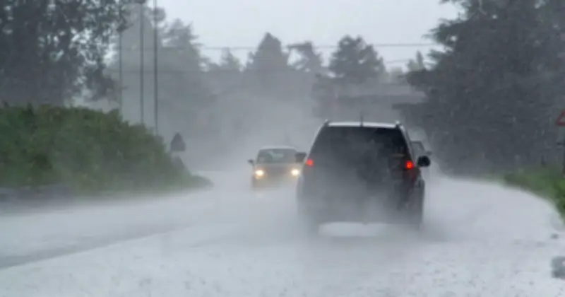
The Met Office has identified 27 areas across the UK that will face heavy rain on Wednesday, August 19, just days after the country experienced a heatwave with temperatures reaching 38C. Weather maps show that many parts of Britain will be affected by wet conditions.
Forecast details
The Met Office's forecast for Wednesday states: "Rain will soon clear the far southeast, with sunny spells developing widely. Heavy, frequent showers across Scotland will spread more widely through the day, with some potentially turning thundery."
Jo Farrow from Netweather.tv wrote in a blog: "By Wednesday morning, there will be brighter skies with a mixture of sunshine and clusters of showers. As the low centre moves over Scotland and Northern Ireland, there will be more showers and some heavier bursts here. These heavier showers over northern Britain could bring hail and thunder. Eastern England, around the Humber to the North York Moors, and Northern Ireland, looks prone."

Cooler temperatures and drought context
BBC Weather reports that the UK is set to get cooler with overnight lows of 3C in some areas. The forecast adds that rain will become heavier by Wednesday. However, it will "take weeks of above average rainfall into the autumn to make any significant changes to the drought", the BBC adds.
Full list of affected areas
The areas affected are: Cornwall, Devon, Somerset, Herefordshire, Shropshire, Wiltshire, Berkshire, Oxfordshire, Cambridgeshire, Suffolk, Norfolk, Bedfordshire, Northamptonshire, Leicestershire, Warwickshire, Worcestershire, Staffordshire, Derbyshire, Cheshire, Merseyside, Nottinghamshire, Lincolnshire.