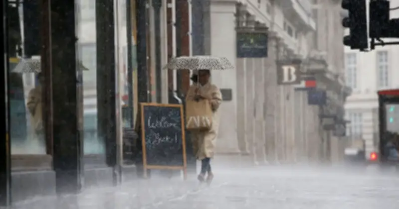
Met Office weather maps forecast heavy rain across large parts of the UK for five consecutive days, from Thursday through Monday, August 31. The dramatic charts show rain sweeping across many regions as unsettled conditions are expected to continue into Friday and the weekend.
The wet weather follows a period of hot conditions, with 2026 witnessing record-breaking five heatwaves. A yellow thunderstorm warning has been issued for many regions as the forecaster warned of potential disruption.
Thunderstorm warning details
The Met Office said: "A broad band of thunderstorms and heavy rain will move north across England and Wales on Thursday, perhaps becoming slow-moving in the afternoon and evening."

Accumulations of 20-30 mm in an hour are possible locally, while 30 to 40 mm can be expected fairly widely and up to 50 mm in a 12 hour period in places. There is a small chance that some places may see more than 50 mm in three hours and more than 75 mm through 12 hours, especially over east facing high ground. Lightning and hail of 1-2 cm will also be hazards.
Forecasters warn of localised impacts
Met Office Chief Forecaster Steve Willington said: "As we move into Wednesday there is a growing risk of heavy rain and thunderstorms, with warm and humid air helping to trigger heavy showers and thunderstorms."
He added: "Some places could see significant amounts of rain falling in a short period of time, bringing the potential for localised flooding, travel disruption and frequent lightning."
"On Thursday, slow-moving heavy and thundery rain may bring prolonged rainfall to some areas, increasing the risk of localised impacts. There remains some uncertainty around where the heaviest rain will fall, so it is important to keep up to date with the latest forecast and warnings."
According to the forecaster, unsettled conditions may continue into Friday and the weekend, with further showers or longer spells of rain remaining possible at times, alongside some drier and brighter periods.