The Met Office has issued a 19-hour thunderstorm warning for parts of Greater Manchester ahead of heavy downpours. The warning comes into force at 3am on Wednesday and lasts until 10pm in the evening. The yellow weather warning has been issued ahead of heavy and persistent rain forecast throughout the day.
Warning areas and potential impacts
In areas covered by the warning, there is a 'small risk of flooding and disruption from thunderstorms', according to the Met Office. The heavy rain may lead to some delays and cancellations on train and bus services.
Areas covered by the warning include parts of Trafford, Stockport, Tameside, Oldham and Rochdale. Other areas included are parts of the East Midlands, the East of England, London, the South East, South West, Wales, West Midlands and Yorkshire and the Humber.

Forecast details
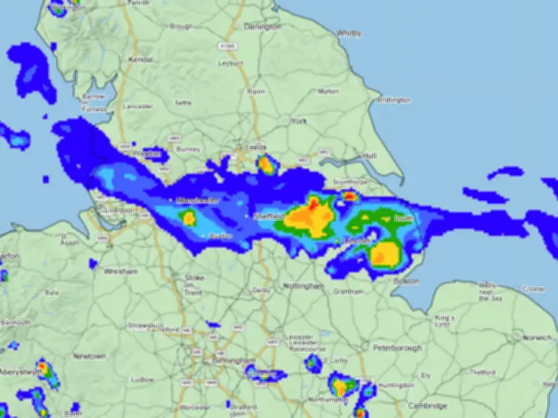
The Met Office said: "A band of heavy showers and thunderstorms is expected to move northwards on Wednesday morning. A drier, brighter interlude may follow, but with a chance of further showers and thunderstorms breaking out during the afternoon."
"Many places will miss these, but where they do occur they may be intense with 20-30 mm rain falling in less than an hour and perhaps 40-50mm in 2-3 hours in a few spots, leading to some surface water flooding. Large hail and frequent lightning are also possible. The showers and thunderstorms will drift northwards and ease during the evening."
Timing of heaviest rain
The heaviest rain looks set to hit Greater Manchester at around 2pm on Wednesday. The showers will then ease off late afternoon and into the early evening.