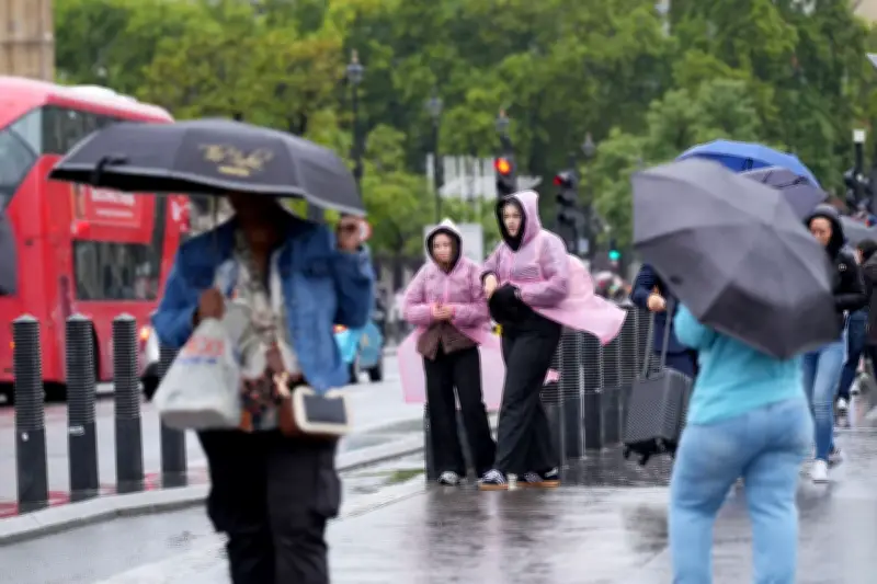
London’s spell of unusually warm October weather is set to come to an abrupt end, with commuters facing heavy downpours on Wednesday. Wet weather is expected to sweep across the capital from the morning, bringing outbreaks of rain and heavy showers throughout the day.
Heaviest Rain Expected During Morning Rush Hour
Forecasters suggest London could see between 10 and 20mm of rain on Wednesday. According to the Met Office, the heaviest rain is expected to begin falling in London around 8am, just as the morning rush hour is peaking. It gives an 80% probability of rain at that time, increasing to 95% by 9am. The heavy rain is expected to continue throughout the morning before easing around 2pm.
Temperatures will also take a noticeable dip, with an expected high of 15C. It is expected to get noticeably cooler heading into evening rush hour, with 12C at 5pm - but feeling as cold as 10C.
Change from Mild Autumn
The change follows a remarkably mild and sunny start to autumn in London, with temperatures climbing as high as 21C on several days during the past week. Cooler conditions are expected to persist into the weekend, when temperatures are forecast to hover around 16C, although there are signs they could recover heading into next week.
The unsettled forecast comes amid growing attention on the powerful El Niño event developing in the Pacific, which is expected to peak around November or December this year. Although El Niño is developing thousands of miles from the UK, changes in the tropical Pacific can disrupt atmospheric circulation around the globe, potentially having knock-on effects on weather much closer to home.
Forecasters Monitor El Niño and Polar Vortex
Forecasters will be keeping a close eye on how the phenomenon develops and what it could mean for Britain as autumn gives way to winter. But the changing conditions could herald a turbulent run-up to Christmas, with London potentially facing heavier downpours, stormy spells and an increased risk of localised flooding — alongside periods of unusually mild weather.
Meteorologists are also monitoring the polar vortex, a vast circulation of powerful winds high above the Arctic which can, when disrupted, increase the chances of bitter Arctic air spilling southwards towards Europe.
The warnings come as Britons are increasingly being encouraged to make sure they are prepared for emergencies, including keeping essential supplies at home. Defence Secretary Wes Streeting has advised households to have essentials including bottled water, tinned food and some cash available should an emergency strike, The Sun previously reported.
“It hasn’t felt very much like Autumn over the last few days but things are changing. The next couple of days the temperature is dropping and the wind is becoming more unsettled,” a Met Office forecaster said. “As a cloudy start to tomorrow morning, the rain is going to become more widespread, it will become heavier and more persistant. And it really takes its time to move.”
“Still chilly on Thursday, but we will see the return of some sunshine.”