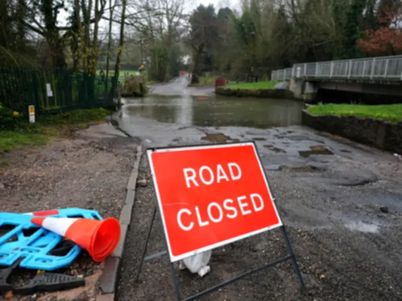
Fresh flood warnings and alerts have been issued ahead of the bank holiday weekend as dozens of homes were damaged by flood water overnight. Two areas have been warned to expect flooding, and flooding is possible in 21 other areas, according to the Environment Agency (EA).
Flood warnings and alerts in place
Flood warnings have been issued for Smestow Brook at Hinksford, in the West Midlands, and Tanyard Stream at Kenilworth, in Warwickshire, while flood alerts are in place mainly around the Midlands and areas north of London. Meanwhile, trains have been disrupted at Knebworth towards London because of flood water making the railway potentially unsafe, National Rail said. Disruption is expected until 11am.
The countrywide washout comes after a prolonged spell of hot weather across the UK which coincided with extremely dry conditions. The Met Office has previously said the UK is on course for its hottest summer on record after five heatwaves, with temperatures of up to 38.1C recorded in London.

Drought conditions persist
The EA said that after a National Drought Group meeting on Thursday morning (27 August), 71.3% of England remains in drought. It said August so far has received only 34% of the expected rainfall. In Birmingham on Wednesday (26 August), West Midlands Fire Service was called out to "significant flooding" around Curbar Road, Thornbridge Avenue and Haddon Road. It said seven fire engines attended the scene and 32 properties were damaged by flood water near Tame Valley Canal.
Now, heavy downpours and possible gales are forecast over the bank holiday weekend, with the Met Office urging festivalgoers to prepare for windy conditions. Annie Shuttleworth, Met Office meteorologist, said: "For most areas of the UK, there is at least a chance of a heavy downpour through Friday. Some of these bring the continued risk of thunderstorms."
Weekend outlook
Saturday (29 August) also looks wet and forecasters think only the very far north-east of Scotland will entirely dodge the rainfall. Festivalgoers heading to Reading and Leeds, Creamfields and other live music events have also been warned of unseasonably strong winds. Gusts of up to 35mph are possible on the south coast on Saturday amid an ongoing risk of thunderstorms in parts of England and Wales. The worst of the wet weather will hit the North West, Northern Ireland and north-west Scotland on Sunday (30 August).
"There is a chance we could see some quite windy weather through the bank holiday Monday, predominantly for more northern areas," said Ms Shuttleworth. "But I think it will likely be a relatively breezy day for the UK as a whole so that may affect plans if you are outside this weekend at a festival or in a tent. That is something to keep in mind." There is a chance of coastal gales in parts of Scotland on Monday (31 August), the forecaster added.
The update comes after a new nine-hour thunderstorm warning was issued for Greater Manchester. The new weather warning covers all of Greater Manchester, Cheshire and Yorkshire, and also covers much of Lancashire, Merseyside, the Midlands, Teesside and Wales.