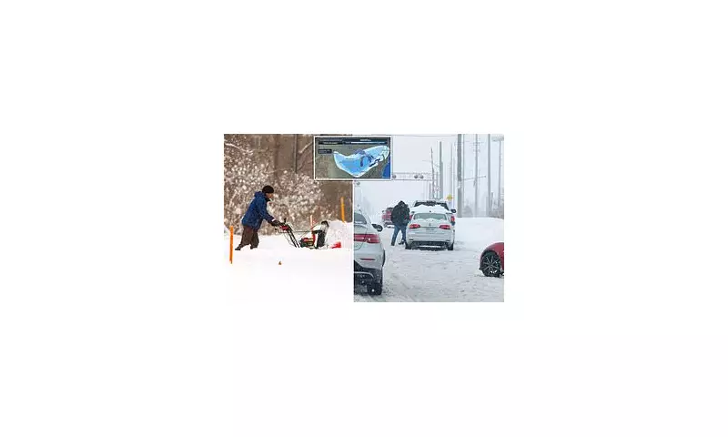
Monster Winter Storm Grips US on Critical Travel Day
A colossal winter storm, stretching an immense 1,200 miles across the northern United States, is hurtling 42 million Americans into severe weather disruption. The tempest arrives at the worst possible moment, as millions embark on their return journeys on Sunday, following the Thanksgiving holiday, which is traditionally one of the year's busiest travel days.
Widespread Warnings and Impending Travel Nightmare
According to the National Weather Service, winter storm warnings and advisories are now in effect from Montana to New York. A hazardous mix of snow, rain, ice, and bitter cold is sweeping across the northern Plains, the Great Lakes, and the interior Northeast. The timing is particularly dire, as the storm's peak is set to clash with the mass return-home rush. The American Automobile Association (AAA) had projected that more than 81.8 million people would travel 50 miles or more during the holiday period.
The Transportation Security Administration (TSA) has raised the alarm, anticipating it will screen over 3 million travellers on Sunday alone. Adam Stahl, the senior official performing the duties of deputy TSA administrator, stated: 'We are projecting that the Sunday after Thanksgiving will be one of the busiest travel days in TSA history.'
Airline Hubs Brace for Impact as Snow Spreads East
US airlines are preparing for significant disruptions. Airlines for America predicts carriers will fly a record 31 million passengers from last Friday through next Monday, precisely as snow and ice threaten to paralyse major hubs. While Transportation Secretary Sean Duffy confirmed the TSA is back to full staffing, this may not be sufficient to overcome the storm's force.
The system has already blanketed the northern Plains and Great Lakes with snow and continued its eastward march on Friday. Iowa and Illinois are bearing the brunt, with forecasts predicting six inches to over a foot of snow in west-central Illinois between Friday and Saturday nights.
Meteorologist Andrew Kozak told CBS News that Chicago, a critical national air-travel chokepoint, could be buried under 8 to 12 inches of snow or more. Heavy snow expected on Saturday threatens to create a domino effect of airport delays nationwide. The deepest snow totals, a foot or more, are forecast for areas downwind of Lake Superior across Michigan’s northern Lower Peninsula and near lakes Erie and Ontario. Central New York could also see a foot of snow, with parts of Iowa, Illinois, Wisconsin, and Michigan potentially exceeding that by Saturday.
Snow squalls may produce sudden whiteout conditions in the interior Northeast, and the NWS winter storm severity index has already warned of highly dangerous travel in eastern Iowa and northwestern Illinois. While the storm does not yet meet official blizzard criteria, its impacts will feel blizzard-like for millions.
By Saturday, widespread snow will fall in the upper Mississippi Valley and Great Lakes, leading to snow-covered, slippery roads and significant flight delays, especially at Chicago-O'Hare. By nightfall, the wintry mess will spread eastwards. To the south, the storm turns volatile, with heavy rain and flash flooding possible across the western Gulf Coast on Saturday.
Temperatures are plunging nationwide. While Friday's highs were in the 20s and 30s across the Midwest, the bitter cold is set to worsen icy road conditions, creating further misery for travellers. By Monday, the storm will have moved into the East with rain and a wintry mix, likely causing significant flight delays in major East Coast hubs.


