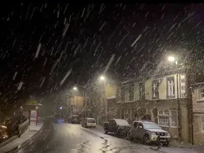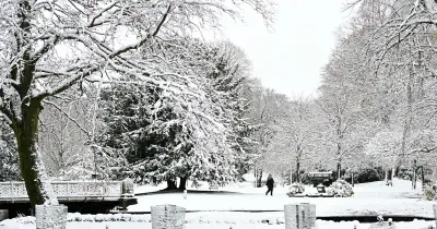
Weather forecasting models suggest a significant snow event could hit 34 UK counties later this month, with temperatures potentially dropping to -4C in parts of northern Scotland.
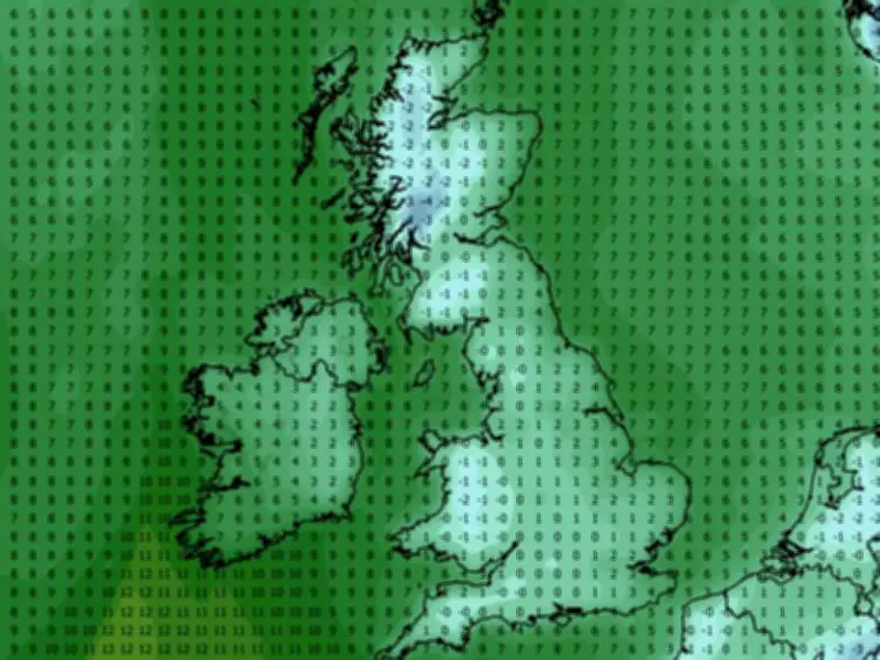
Data from the GFS weather model indicates that minimum possible temperatures at midday on Saturday November 28 would be just 2C in and around London, 1C in the Midlands and South Wales, and 0-1C around Glasgow and Edinburgh. Rural areas are expected to see even lower readings, with -2C possible in central Wales and -4C in northern parts of Scotland.
Snow Arrives Across Scotland and Wales
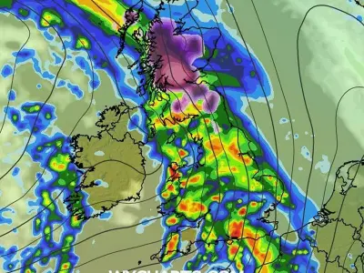
The same model shows snow arriving in western and central Scotland at around 3am on Sunday November 29, before spreading to parts of England and Wales. By 6am, the maps indicate snow falling in Wales, heavily over Snowdonia, as well as parts of southern Scotland. At around 9am, snow is expected to impact parts of northern England and areas close to the England-Wales border.
Snow depth data suggests 6cm could settle in rural parts of Scotland, with 3cm in Snowdonia and 1cm around the Lake District and the Pennines.
Counties Affected by Snow
In total, the GFS model maps suggest 34 counties could see some snow during this period. In England, the affected areas include Cumbria, Shropshire, Herefordshire, Gloucestershire, Cheshire, Lancashire, and Yorkshire.
In Scotland, snow is forecast for Ross-shire and Cromartyshire, Inverness-shire, Argyllshire, Aberdeenshire, Perthshire, Kinross-shire, Clackmannanshire, Stirlingshire, Dunbarton, Lanarkshire, Ayrshire, Kirkcudbrightshire, Fife, Kincardinshire, West Lothian, Midlothian, Peeblesshire, and Dumfriesshire. In Wales, the affected counties are Flintshire, Denbighshire, Caernarfonshire, Merioneth, Montgomeryshire, Radnorshire, Brecknockshire, Monmouthshire, and Cardiganshire.
Met Office Outlook
The Met Office has said more cold conditions later this month could lead to precipitation falling as snow, particularly over hills, with potential for occasional strong winds. The Met Office forecast for November 22 to December 1 states: "Bands of rain will move in from the Atlantic at times, making erratic and uncertain eastward progress across the UK. These systems may also bring occasional strong winds."
"Either side of bands of rain a mixture of clear/sunny spells and showers. Often rather cold in northern areas which could allow precipitation to fall as snow at times, mainly over hills. Generally milder in the south though still potential for some nights in clearer spells. Through late November, there is an increasing chance that high pressure will start to have more influence bringing more settled conditions, particularly across the north, with southern areas remaining more prone to milder and wetter weather."