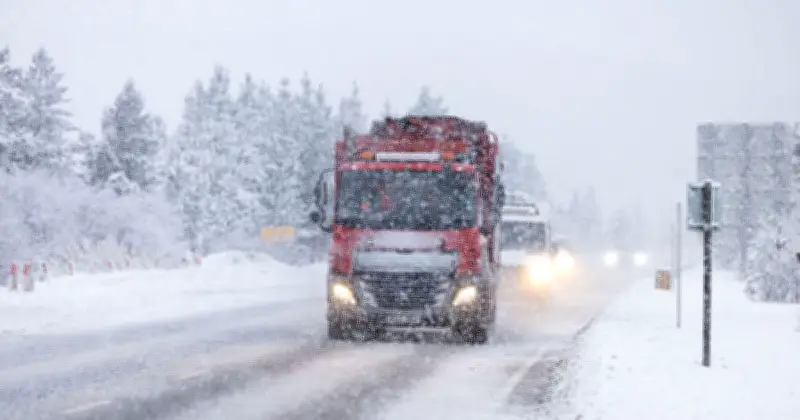
Snow is forecast to hit parts of the UK on Friday, according to Met Office maps showing wintry weather sweeping across Scotland. The latest charts indicate patches of snow developing over higher ground in the Highlands throughout October 23, with conditions appearing from Friday morning and continuing into the afternoon.
Snow developing through the day
At 7am, snow is shown across parts of the western and central Highlands, largely concentrated over higher ground. By 10am, further patches appear across the Highlands, including on higher ground north and east of Fort William and close to Loch Rannoch.
The wintry weather remains on the maps at 1pm, when several areas of higher ground are forecast to see snow while a much wider band of rain stretches across western and northern Scotland. Snow is still showing at 4pm, particularly over higher ground in the central and western Highlands.
Individual forecasts and affected areas
Individual Met Office forecasts also point to snow on Friday. A'Chralaig in the Northwest Highlands is forecast to see light snow from 7am and through much of the day. The chance of precipitation reaches 70% at 1pm, when temperatures are forecast to be around freezing and it could feel as cold as -8C.
Aonach Mor is also forecast to see light snow at 7am before another spell from 1pm. Snow or snow showers remain in the forecast into the afternoon and evening, with temperatures hovering around 0C to 1C.
Further south, Stob Coire Sgreamhach is forecast to see rain give way to light snow during Friday afternoon, followed by snow showers later in the day.
Weather outlook and full list
The colder conditions come as Britain's weather starts to turn more unsettled, with high pressure losing its grip and Atlantic systems beginning to move in. In its latest long-range outlook, covering Friday, October 23 to Sunday, November 1, the Met Office forecasts "changeable and at times unsettled" conditions, with spells of rain moving in from the Atlantic. Some of that rain could be heavy, while strong winds or gales are also possible. Drier and brighter spells are expected between the weather systems, bringing some sunshine alongside scattered showers.
Temperatures "may be slightly below normal at first", coinciding with the snow shown on Friday's maps, before conditions are expected to become warmer than average later in the period.
The full list of areas forecast to see snow includes the Northwest Highlands including A'Chralaig, the Fort William area including Aonach Mor, the Southwest Highlands including Stob Coire Sgreamhach, the Central Highlands, the Fort Augustus area, and the Loch Rannoch area.