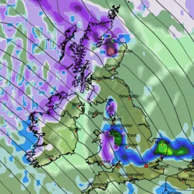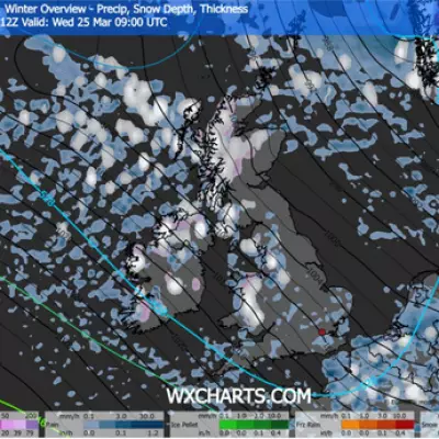
Britain is bracing for a significant winter onslaught as new meteorological data reveals a vast wall of snow is poised to sweep across the country. Forecasts indicate a massive band of snowfall, stretching over 240 miles, will bury parts of Wales and England under depths of up to ten inches later this week.
Snow Depth Charts Paint a Stark Picture
According to detailed predictions from Metdesk, a swathe of the UK from west of Swansea in Wales to Norwich in England will be impacted on Friday, January 9. The weather maps turn a telling dark blue, indicating substantial accumulations, with some areas expected to see up to 10.6 inches (27cm) of settling snow.
The deepest accumulations within this band are predicted for Wales, particularly in the Brecon Beacons National Park. Charts suggest residents there could wake to almost a foot of snow on the ground by 9am on Friday. In England, the heaviest falls are forecast just over the border in the Cotswolds, where around nine inches could settle.
Nationwide Freeze and Disruption Begins
The looming snow event is part of a broader spell of severe winter weather already gripping the nation. Temperatures are set to plummet dramatically, with maps indicating staggering lows of -11°C developing within the next 24 hours. The cold snap has already forced schools across the country to announce closures for Monday, with further disruption likely.
The Met Office has issued a series of weather warnings for snow and ice, urging the public to take extra care. Their forecast for Tuesday to Thursday warns of a “band of rain and snow moving erratically eastwards across the UK during Tuesday and Wednesday.” A brief drier spell is expected initially on Thursday before another potential bout of rain and snow arrives.
Scotland Braces for Even Heavier Snowfall
While central and southern parts of the UK prepare for significant snow, the most extreme conditions are reserved for Scotland. Forecasts predict the deepest patches will be in the north-west, where accumulations could reach a remarkable 23 inches (58cm) – nearly two feet. This underscores the widespread and severe nature of the incoming weather system affecting the entire United Kingdom.
Authorities are advising people to monitor the latest forecasts and travel updates closely, as the combination of heavy snow, ice, and sub-zero temperatures is expected to cause major travel disruption and hazardous conditions on roads and pavements for several days.


