Britons are set for a bitterly cold first weekend of 2026 as Arctic winds bring a prolonged cold snap across the UK, prompting the Met Office to extend weather warnings for snow and ice into Monday. Multiple warnings are in place, with an amber alert for parts of Scotland from midday on Friday, indicating a potential risk to life. Up to 40cm of snow could fall on higher ground, and 20cm on low ground, with travel chaos, blizzards and power cuts expected.
The UK Health Security Agency (UKHSA) has issued amber cold health alerts for England until 9 January, warning that increased deaths are likely due to the freezing temperatures. The alerts urge people to check on vulnerable friends, family and neighbours, as the cold can lead to heart attacks, strokes and chest infections. This comes even as the Met Office confirmed that 2025 was the warmest year on record, with a mean average temperature of 10.09C.
Yellow weather warnings cover swathes of southwest England and Wales, with those on the east coast and the South West extended into Monday. On Saturday, yellow warnings apply in southwest England and along the east coast from Newcastle to Norwich. Temperatures are expected to hover around 1C for most of the country, dipping below freezing in parts of Scotland. Icy conditions will move westwards on Sunday, with a yellow warning covering Greater Manchester, Wales and southwest England from 3pm to midday Monday.
Blizzards are expected across the UK, including in areas not yet under warnings. Snow showers will push inland overnight into Saturday, with 1-3cm widely accumulating and 5-8cm possible in places like the North York Moors. Further snowfall is expected on Sunday evening across Wales, northwest England, the West Midlands and southwest England, with another 1-3cm by Monday morning and up to 8cm in some areas. On Shetland, 10-15cm is likely at low levels, and 20-30cm on high ground.
Chief forecaster Neil Armstrong said: “With Arctic air now covering most of the UK, very cold weather will continue through the weekend, with minus double figures overnight in places and daytime temperatures struggling to rise above 0C for some. It looks like this cold spell could last well into next week and wintry hazards will continue.” Dr Agostinho Sousa, head of extreme events at UKHSA, urged people to check on loved ones, adding: “The forecast temperatures can have a serious impact on the health of some people.”
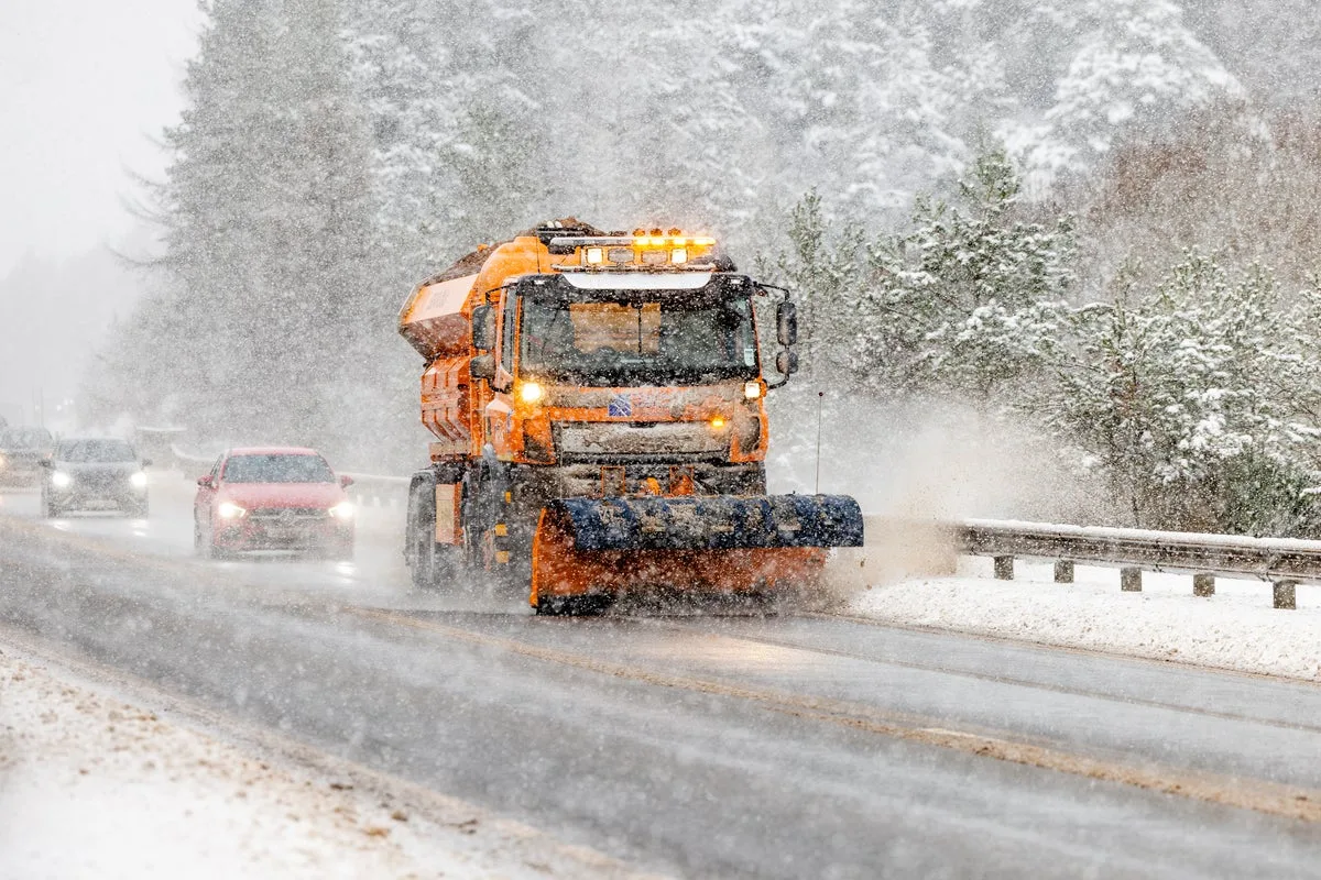
Highland Council reported campervans and cars stuck on ice in tourist hotspots, and several snow gates in northern Scotland have been closed. Motorists are advised to drive with caution, check travel conditions and allow extra time. Forecasters warn that rural communities could be cut off, with stranded vehicles and potential power and mobile phone outages.