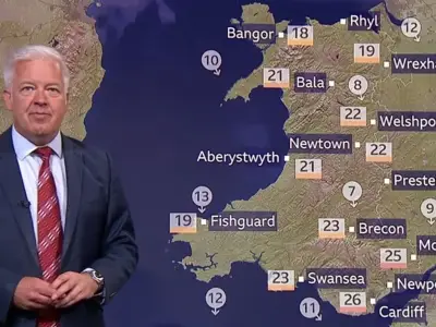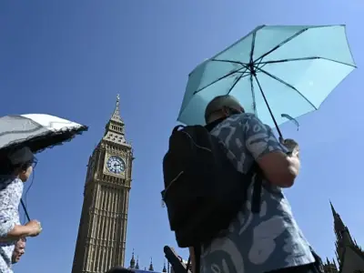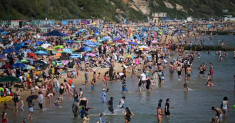
The Met Office has issued a forecast for a possible sixth heatwave in September, with temperatures expected to soar again after a summer on course to become the hottest on record. Britain has experienced five heatwaves so far this year, with temperatures reaching 38.1C in London last Thursday during the fifth.
Current Weather Conditions
The Met Office has warned that parts of the UK could face heavy downpours and flash flooding before conditions turn drier over the weekend. A yellow warning of thunderstorms has been issued for several areas.
September Forecast
According to the National Weather forecaster, temperature levels could climb again as September begins. The Met Office's long-range forecast between August 24 and September 2 suggests that high pressure will continue to build across the country. It added: "Temperatures likely near to average though varying with some short-lived warm and humid spells possible, especially in the south."

The forecast between September 3 and 17 reads: "A rather unsettled start to autumn is most likely with all areas probably seeing a mixture of showers or longer spells rain interspersed with drier interludes. Temperatures likely varying around average, some warm or hot spells are possible but unlikely prolonged in early September. By mid-September, there may be an increase in the extent of drier, more settled weather, especially in the south and east, though signals become very weak."
Long-Range Outlook
According to BBC, the long-range forecast for September, October and November from the Met Office suggests that the chance of a warm three-monthly period is "higher than normal". This will bring an "increased risk of heatwaves and heat-related impacts, especially during the first half of the period".
It said: "With September still two weeks away, we can not yet suggest when - or indeed if - this will happen. We can only say that the risk is there."