Weather maps show temperatures crashing to as low as -4C in parts of the UK this weekend. Maps generated on Wednesday by WX Charts indicate the chilliest spots will be in the north of Britain, with minimum temperatures in single figures elsewhere across the country.
Freezing conditions in Scotland
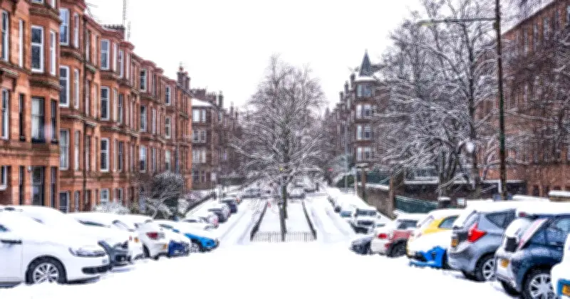
Higher ground in the west of Scotland could see -1C to -4C at midday on Sunday, with 0C to 1C across the region. The mercury in England, Wales and Northern Ireland ranges from 1C in south Wales to 6C in Southampton, 9C in Norwich, 5C in Manchester and 8C in Newcastle.
Areas which look set to see freezing temperatures are: the Highlands, Na h-Eileanan-Siar, Argyll and Bute, Stirling, Perth and Kinross, Inverclyde, Lanarkshire, Renfrewshire, Ayrshire and Dumfries and Galloway, WX Charts' maps show. The chilliest spot on Sunday at midday could be around Argyll and Bute and the Highlands.
Forecasters predict cooler weekend
Met Office meteorologist Honor Criswick said high pressure would bring dry, settled weather this weekend, with the odd spot of rain and showers feeding in from the north. She said it will still feel cooler than the recent spell of warmer weather seen this week.
The forecaster's five day outlook notes that it will be "much cooler" than of late at the weekend, with a few showers possible in the far north and south. BBC Weather's Darren Bett said a band of rain and cloud will move eastwards overnight into Friday, with cooler air in the north pushing its way southwards. Mr Bett said it would be much cooler across the whole of the UK this weekend, with temperatures significantly lower than those seen of late.
Dry and fine weather expected
The forecaster expects dry and fine weather on Saturday under the influence of high pressure. Showers may drift into the south-east on Sunday while cloud and light rain move into the north-west, according to BBC Weather.
The Met Office UK five day weather forecast for Wednesday, October 14 to Sunday, October 18 says today will be windy across the north and especially in northwest Scotland which will see severe gales. It will be dry and bright for most, with the best of the sunshine in the south. Skies cloud over in the northwest, with patchy rain across Scotland. It will be rather warm.
Tonight will see heavy rain and brisk winds move southeastwards across Scotland and Northern Ireland, with clear spells and showers following. Much of England and Wales will be dry, with variable cloud. It will be mild. Rain moves slowly southeast across northern England into Wales on Thursday, reaching central areas later. The southeast will be warm with sunny spells. In the northwest, it will be fresher with showers. Winds will gradually ease.
Rain clears the southeast on Friday morning. Otherwise, it will be mostly dry as high pressure builds in. A few showers are possible, but these will mainly be in the far north and south. It will be much cooler than of late.