
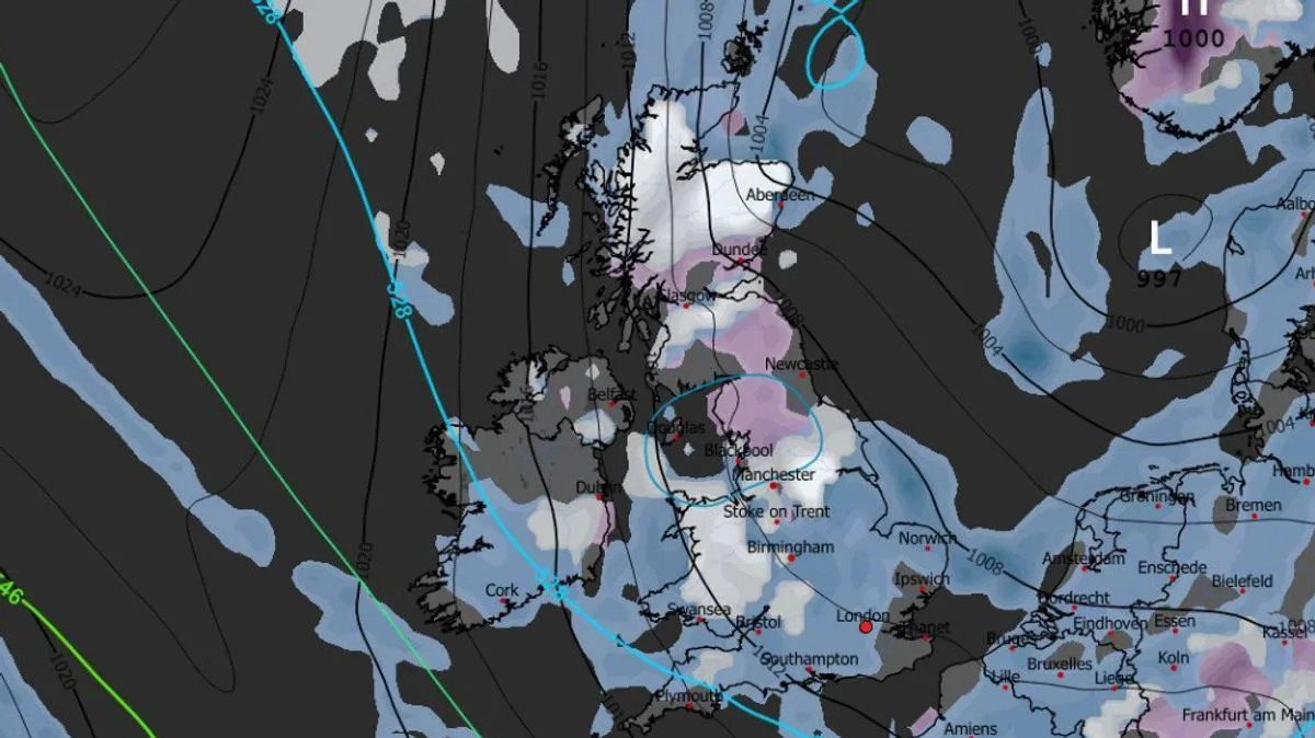
Weather maps indicate that up to 27 cities across the UK could see snow later this month, with flurries expected to begin on April 26. According to the GFS weather model, the first snowfall will hit the Midlands, north-west England, and northern Scotland at around 6am, with Birmingham among the cities affected.
By 9am on April 26, snow is forecast to spread widely, impacting regions just north of London, Wales, Northern Ireland, and the far north of Scotland. Parts of Yorkshire may also see snow around this time. At midday, the maps show snow falling across northern England, the Midlands, much of Wales, and most of Scotland, with Liverpool and Manchester in the firing line.
On April 27 at around 9am, almost all of Wales is predicted to be engulfed in snow, while the heaviest flurries are expected in the far north of Scotland and northern England. In total, the maps suggest 27 cities could experience snow during this period.
However, accumulations are likely to be minimal, with less than 1cm expected in most areas. Significant snow is only anticipated in the Scottish hills, where up to six inches could fall. The Met Office forecasts generally warm temperatures later this month but notes that unsettled conditions are possible.




