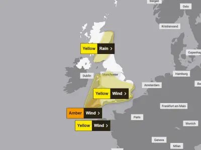
Storm Boelo is set to bring a wet and windy weekend to Wales, with heavy rain and strong winds forecast across the country on Saturday before conditions briefly improve on Sunday.
The Met Office has indicated that while the heaviest rain and strongest winds are expected in northern parts of the UK, Wales will still see significant rainfall. Saturday is forecast to bring further rain and strong winds, with drier and brighter conditions expected on Sunday, though isolated showers may remain.
Saturday's Heavy Rain and Strong Winds
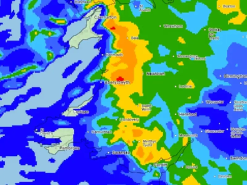
Saturday morning is expected to be wet and windy across the whole of Wales. Rainfall is forecast to hit the west of Wales around 6am, also affecting the south, including Cardiff and Swansea. At 9am, the strongest wind gusts are expected on the Pembrokeshire coast, reaching 45mph at St Davids.
The heaviest rainfall is expected between 3:45pm and 5pm. Isolated areas in north and south Wales could see 16 to 32 mm/hour of rainfall, with the heaviest around 3:45pm near Ystradgynlais.
By 9pm, heavy rainfall will pass through Wales, with areas from Maesteg to Monmouth still experiencing heavy showers. Cardiff is expected to be the most affected area, with rainfall reaching 2-4 mm/hour.
Sunday's Brief Improvement
Showers are forecast to stop by midnight on Sunday, with light showers possible across Wales around 6am. The rest of the day is expected to be clear but still windy, with gusts reaching over 50mph in parts of north Wales.
The Met Office describes Sunday's forecast as "brighter with isolated showers" but "remaining windy until the evening".
However, the improved weather is not expected to last, with unsettled conditions set to return at the start of next week as rain and strong winds move in on Monday.