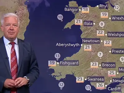
The Met Office has forecast temperatures as low as 7C in parts of Greater Manchester by Sunday morning, as a shift in the jet stream brings cooler and wetter weather to the UK after weeks of heat.
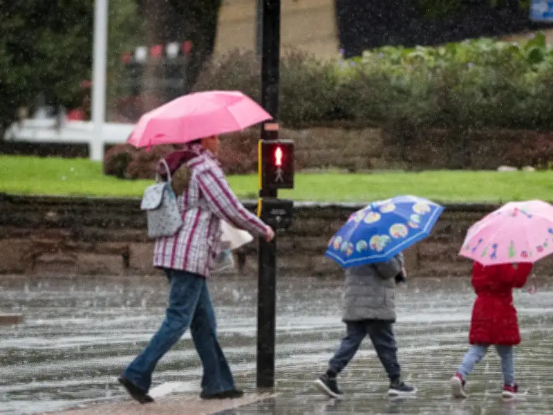
Heavy downpours are expected across northern and central England, as well as parts of Wales, while thunderstorms and hail are also possible, the Met Office said. The last few days of August will see much cooler and wetter conditions than the UK has experienced recently, with the jet stream now shifted further south, allowing low pressure to replace the high pressure systems that brought heat and sunshine.
Temperatures Fall to Single Figures
Temperatures will fall below average in many places during Thursday evening and Friday and into the weekend. The Met Office stated: "Northern areas will feel especially cool, with a brisk northerly wind adding to the autumnal feel. Overnight temperatures could fall into the low single figures in some sheltered Scottish glens, while more widely temperatures are expected to drop into single figures across northern parts of the UK."

By Sunday morning, the temperature in Rochdale at 6am is expected to drop to 7C, while other areas of Greater Manchester are forecast to be just 9C. Despite the cold start, weather maps suggest temperatures will rise during the day, peaking at around 20C in Manchester by the afternoon. The best of the sunshine is likely across southern areas, while the north of England may see some cloud and patchy rain.
Outlook for Next Week
Looking ahead to the start of next week, the Met Office said it would be largely dry for many areas as high pressure briefly strengthens. "Temperatures should begin to recover, rising back above average by Tuesday and Wednesday, although current indications suggest values will remain well below heatwave levels," forecasters said.
Confidence decreases as the second half of next week approaches. The Met Office said: "Confidence decreases as we move into the second half of next week. Forecast models broadly agree that low pressure is likely to be close to the UK by late August, but there remains uncertainty over exactly where it will track and how quickly it will arrive."
The most likely scenario currently favours a return to more unsettled conditions later next week and into the bank holiday weekend, with an increasing risk of rain and stronger winds. Some forecast scenarios keep the wettest weather to the west, while others bring more widespread rainfall across much of the UK.