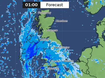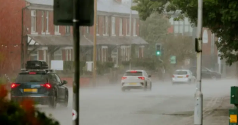
The Met Office has identified 12 areas across England and Scotland that will be affected by heavy rain on Thursday, August 20, with thunderstorms and scattered showers expected to spread across the country.
According to weather maps from the Met Office, many areas in England and Wales will experience unsettled conditions. The forecast for Thursday states: "Sunny spells and scattered showers. The focus for the heaviest showers will transfer to other areas of England and Wales, with thunder again possible. Feeling cool in the northerly breeze."
Thunderstorm Warnings in Place
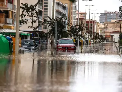
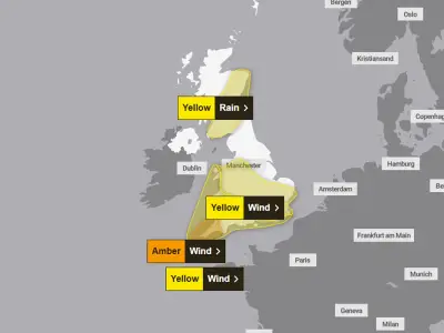
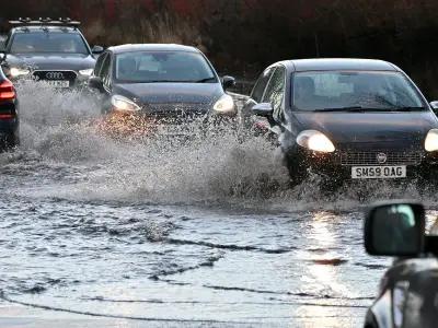
The forecast comes as the forecaster issued yellow thunderstorm warnings across the UK, with heavy showers expected to lead to flash flooding and travel disruption. The warnings came into force across northern England, Northern Ireland and eastern Scotland later in the day on Wednesday. The alert for northern England will remain in place until Thursday morning.
The continuous downpour comes as a relief for Brits as July 2026 was the driest July on record for England and Wales. Drought officials have declared 71.3% of England to be in drought, and parts of eastern Scotland are also experiencing significant water scarcity. Southern England has been particularly hard hit, recording its driest month since records began in 1836.
Drought Relief and Caution
Although the expected change in weather could provide some relief to drought-affected areas, the Environment Agency has cautioned that only sustained and substantial rainfall will be enough to meaningfully improve the situation.
List of Areas Impacted by Rain
- Durham
- North Yorkshire
- Lancashire
- Greater Manchester
- West Yorkshire
- Cheshire
- Derbyshire
- Staffordshire
- Gloucestershire
- Glasgow
- Dumfries and Galloway
- South Ayrshire