Declassified Soviet maps drawn up at the height of the Cold War show exactly how the Red Army planned to invade Manchester, including tank routes down Washway Road, the Mancunian Way and Princess Road. The maps, produced in the 1970s for tank commanders, were bought on the open market after being declassified at the end of the Cold War.
The revelations come as Russia warns of a possible “semi-military” response against UK drone factories after Britain decided to provide attack drones to Ukraine. A former Russian deputy foreign minister issued the warning, while tensions have risen further following reports of CIA director John Ratcliffe's secret trip to Moscow.
Cold War Context and Escalating Tensions
Since Russia's invasion of Ukraine in 2022, the conflict has turned into a prolonged four-and-a-half-year war. In the past year, Russia's territorial gains have stalled, resulting in a bloody war of attrition on the front line and many Ukrainian civilian deaths as Russia increased ballistic missile strikes against military and civilian structures.

Ukraine continues to develop its own long-range strike capabilities, particularly long-range drones, striking Russian oil refineries, military factories and warehouses of Russia's online shopping giant Wildberries. Britain's Prime Minister, Andy Burnham, met Volodymyr Zelensky in Ukraine this week and handed over blueprints to Storm Shadow cruise missiles so Ukraine can produce their own.
Soviet Invasion Plans for Manchester
One map, from 1974, shows how the Soviet Union planned to invade Manchester. It was made for Red Army tank commanders who needed to know which roads were wide enough for them to roll into the city centre. The Russians would have headed down Sale's Washway Road, onto the Mancunian Way and along Princess Road.
The map was one of 80 on display in an exhibition at Manchester University's John Rylands Library during a 2009 reception for the Royal Geographical Society's annual conference. Soviet mapmakers added “secret” information that had been left off Ordnance Survey maps at the time, such as Strangeways Prison and the Risley Moss nuclear research site.
Map Details and Local Cold War Relics
At the 2009 exhibition, Manchester University geography lecturer and curator Chris Perkins said: “This and other maps show the roads, familiar to many Mancunians, which the Soviets felt were wide enough to carry tanks - including Washway Road, the Mancunian Way, and Princess Road.” He added: “They even used Russian versions of place names for areas such as Urmston, Salford and Stretford. It's quite unnerving, as the map, and their intelligence is only 35 years old. It's incredible how detailed their information was.”
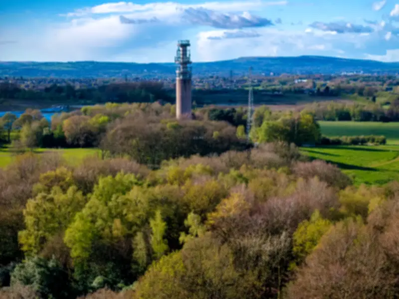
Manchester's own pieces of Cold War history survive in the form of the Guardian telephone exchange and Heaton Park's BT Tower. The Guardian telephone exchange, also known as 'Scheme 567', is a clandestine network of tunnels and a bunker built in the 1950s, still surviving some 35 metres beneath Manchester's streets. Heaton Park BT Tower is a multi-million-pound radio relay station built in the 1960s, part of BT's 'backbone system' designed to maintain long-distance communication in the event of a nuclear attack.