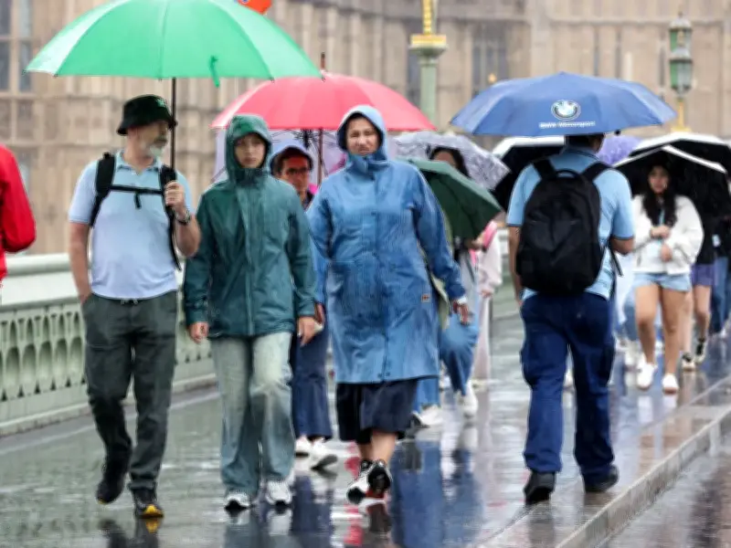
New weather forecast maps show a deluge day incoming for most of the UK this week, with heavy rain, some hail, and a massive band of thunder streaking across every home nation. More than half of the country is in drought, but welcome rain is on the horizon. Thunderstorms and downpours have already swept through Scotland and Northern Ireland and will move south into England and Wales as the week progresses.
Heavy rain and thunderstorms to hit on Thursday
The heaviest of which, forecasters say, will arrive on Thursday. According to the latest weather maps, some of the most drought-hardened areas will be hit hard just as people prepare to leave the office for their commutes home. It will be colder than the last few days too, with lows of 12C forecast across northern England.
The maps from Netweather.tv and Ventusky capture the rain as it arrives over the UK on Thursday, August 20, in the afternoon, and into the evening. The latter service shows the first drops arriving over the southeast after rotating in from Northern Ireland and Scotland, tipping out up to 6mm of water per hour from the northwest coast.

Rain to move south throughout the day
The initial wave will hit areas like Aberystwyth in Wales and both Liverpool and Blackpool in northern England, starting from around 1am. The system will continue to move inland from there, with maps showing forks of lightning streaking out alongside some potential hail. Rain will initially centre itself around Yorkshire, with Leeds, Middlesborough and Scarborough all taking the brunt of still heavy 6mm to 8mm of rain per hour.
The same system will move south throughout the day until landing in the Midlands and East of England at Birmingham and Norwich by around 4pm. As those areas see heavier rain at the time, slightly lighter rainfall and showers will arrive over London and most of southern England, aside from distant parts of the southwest coast like Devon and Cornwall. Those same areas will come within the heavier rain by around 7pm, and it will remain there until 10pm.
Temperatures and outlook
All the while, the Netweather maps show the country remaining comparatively warm, with the UK's capital and the vast majority of the southeast wrapped in 22C highs. Areas further north, including those where the rain is set to hit first, will be fresh, with highs hitting between 13C and 17C at a maximum.
The forecast for the day is the start of a wetter trend, according to the Met Office, which predicts that, between August 23 and September 1, "most places" will continue to see some showers. The forecast states: "This period is likely to start largely dry and settled across the UK, as a ridge of high pressure sets in. A few showers are likely in the far north and possibly the far southeast though. Conditions look like turning increasingly unsettled through next week, as low pressure gradually becomes dominant, squeezing the ridge off to the northeast."
"Most places are likely to see some rain or showers, particularly during the second half of next week, and these may be heavy with a risk of hail and thunder. It may become breezy if not windy at times too. Temperatures are likely to be near or a little below normal overall, with some chilly nights at first, but brief warm, humid spells are possible at times, especially in the south."