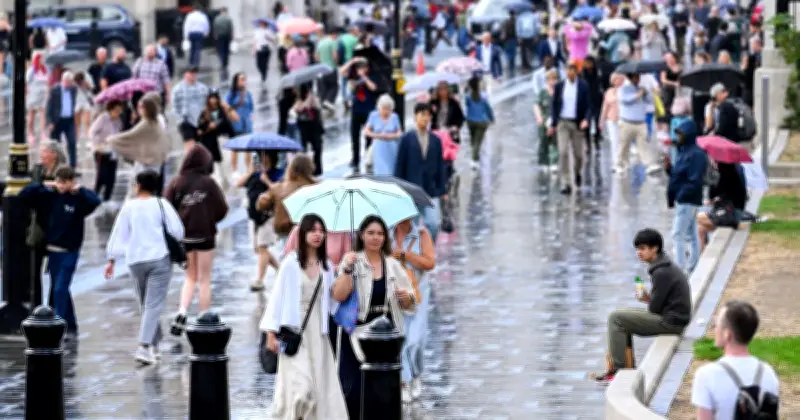
Heavy downpours are forecast across the UK on Thursday, with 46 areas on the Met Office weather map turning deep red to indicate intense rainfall. The red colouring shows areas expected to see over 33mm of rain per hour, as much of England and Wales will be hit by some form of showers.
Yellow weather warnings in place
A yellow weather warning has been issued by the Met Office for Wednesday and Thursday, as Brits have been warned to prepare for flooding. The alert comes into effect from 3am on Wednesday and lasts until 10pm. An additional yellow thunderstorm warning has been issued from 6am on Thursday, lasting until 10pm.
The forecaster stated there was "a small risk of flooding and disruption from thunderstorms on Wednesday," encouraging people to prepare for potential floods and disruption caused by lightning strikes.

Rain moves north through the day
These showers and flood risks continue into Thursday as a thick band of rain appears to travel north throughout the day. According to the weather maps, the areas experiencing the heaviest rain earlier in the day are further south, including Truro, Slough and Hounslow in London.
At around 3.30pm these areas are expected to become soaked, with Sadiq Khan having warned that London is likely to see flash flooding over the coming days. As the afternoon continues into night, the thick band of rain heads north, covering areas in the Midlands at around 6pm. Leicester, Derby and Uttoxeter are all covered by the deep red shading on the map, highlighting they will be soaked by downpours.
Impact and precautions
The Met Office cautioned: "Homes and businesses could be flooded quickly, with damage to some buildings from floodwater, lightning strikes or hail. Where flooding or lightning strikes occur, there is a chance of delays and some cancellations to train and bus services."
As the evening continues, northern areas in England are expected to see severe showers, including Chester and Liverpool. The intense red spots also reach Bradford and Bolton on the map. Households across Britain have been advised to take precautions ahead of the storms and prepare an emergency flood kit, including essentials needed should a power cut occur.
As the rain travels up the country, areas in the South West and on the South Coast of England are forecast to see a dry spell following the earlier downpours.
Full list of areas turning red
The full list of areas that turn red on the Met Office maps with over 33mm/hour of rain includes: Abergavenny, Andover, Westerham, Warminster, Hereford, Bromley, Truro, St Austell, Watford, Wellingborough, Aylesbury, Market Harborough, Lichfield, Leicester, Hounslow, Newquay, Slough, Burton upon Trent, Derby, Uttoxeter, Buckingham, Bicester, Clacton-on-sea, Stevenage, Milton Keynes, Shrewsbury, Northampton, Royston, Nuneaton, Huntingdon, Ely, Stafford, Peterborough, Bourne, Bradford, Stoke-on-Trent, Wrexham, Knighton, Chester, Skegness, Nantwich, Chesterfield, Settle, Liverpool, Worksop, and Bolton.