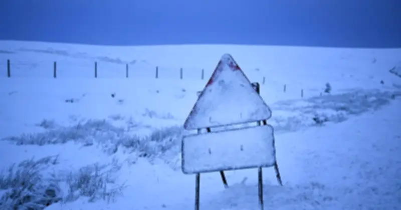
The Met Office has issued a new polar vortex forecast as temperatures are set to plunge across parts of the UK this week. Britain is currently experiencing another spell of mild autumn weather, with temperatures reaching as high as 21C in London on Tuesday.
Rain and wind moving in
A band of rain is moving across England and Wales, turning heavy in places before brighter and fresher conditions develop behind it. Heavy showers are also expected to move into northern areas, where there is a risk of thunder.
Wednesday is forecast to remain dry for many, with warm sunny spells and patchy cloud, although winds will strengthen in the north and coastal gales are expected to develop in northern Scotland. But a noticeable change is expected towards the end of the week as cooler air spreads across the country.
Cooler air by Friday
In its latest UK outlook for Thursday to Saturday, the Met Office said: "Winds fall lighter as a band of rain slowly moves south across the country. Cooler air moves in by Friday, with largely dry and bright weather for the weekend."
In London and the South East, conditions are expected to remain cloudy and mild on Thursday before rain arrives overnight. Friday is then forecast to become brighter with sunny spells and the possibility of a few isolated showers, followed by a mainly dry and bright Saturday.
Temperature drop and long-range outlook
Temperatures in London illustrate the scale of the change, with highs of around 21C on Tuesday before falling to around 15C on Friday. By the weekend, daytime temperatures are expected to struggle to reach the mid-teens, with overnight temperatures also dropping.
The colder conditions come as the Met Office predicts high pressure will remain close to the UK through much of the second half of October, bringing largely settled weather but an increasing chance of chilly and frosty mornings.
In its long-range forecast for October 17 to October 26, the Met Office said: "High pressure is expected to lie close to or across the UK through much of this period. This will mean largely fine and dry weather for many, perhaps with some overnight mist and fog patches. Weak frontal systems could bring some rain at times and if this happens it is most likely in the far south or perhaps far north of the UK. Winds are expected to be mostly light. Temperatures will likely be around normal for the time of year, with frosty mornings in the usual prone areas."
The forecast comes after the Met Office issued an update on the stratospheric polar vortex and what the powerful El Niño event could mean for Britain's weather this winter. The forecaster said the current El Niño is "unprecedented in terms of its strength at present", with seasonal models predicting it could strengthen further over the coming months. Later in the winter, following the peak of El Niño, the stratospheric polar vortex can become weaker, increasing the chance of Sudden Stratospheric Warming events and the potential for colder weather. However, the Met Office has stressed that this does not amount to a forecast of widespread snow or freezing conditions, with the precise impact on the UK still uncertain.