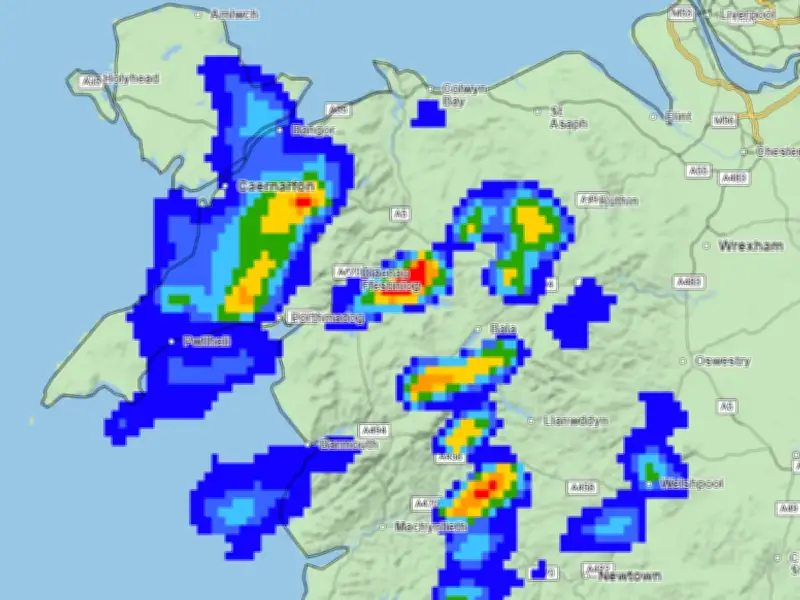
The Met Office has warned of a risk of flooding in north Wales this week as heavy rain returns after a long, dry summer.
Flood risk and rainfall totals
A flood risk has been warned for overnight on Wednesday heading into Thursday morning with the potential of 30-35mm of rain. Due to the heavy rain being mainly overnight, there is likely to be less of an impact according to the Met Office.
Due to the vast dry land across the north of the country, water is likely to accumulate causing flooding.

Further showers and thundery downpours
Further showers and thundery downpours are expected in north Wales and parts of central and south Wales on Thursday, August 20.
In 2026 Wales has recorded its driest July on record, with 9.3mm of rainfall, just 9% of its long-term meteorological average for the month and less than half of the previous record of 22.6mm set in 1911.
Temperature drop and thunder showers
As well as the return of rain, colder temperatures will also be reappearing providing relief from the extreme heat Wales has experienced this summer.
Northerly winds will develop from Thursday that will allow temperatures to drop below average with "thunder showers" forecast for Thursday and Friday across parts of Wales.