Parts of the UK are set to enjoy one more burst of warm weather, with temperatures reaching 23C in some areas on Thursday before the autumn chill takes hold.
Eastern England is likely to see the unusually high temperatures this afternoon, while Scotland, Northern Ireland and western parts of the UK will experience more typical mid-October conditions. Friday is forecast to be bright but cooler, with temperatures in London dipping to around 16C.
Warmth from low pressure near Iceland
The warm spell is caused by a deep area of low pressure passing close to Iceland, which is feeding warm air across central, eastern and southern parts of the UK. Temperature levels are rising to 21C in at least seven areas: London, Norwich, Lincoln, Peterborough, Sheffield, Nottingham and Cambridge.
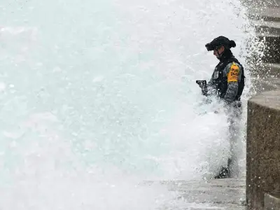
This comes after the Met Office issued a yellow warning for winds on Wednesday, with gusts reaching 60mph in some coastal areas.
Rain band to move south
Met Office meteorologist Honor Criswick said: "For many areas, though, it will remain dry, just to the south of this rain, a bit cloudy, though, maybe a little bit gray to start into Thursday morning.
"Most towns and cities remaining around the mid teens, but as that rain clears towards the far northwest, turning a little bit cooler here.
"Now, through the course of Thursday, a band of rain will slowly sink its way southwards. It doesn't move very quickly. So that means for areas of southern Scotland, northwest England, eventually northwest Wales, they're likely to see quite a wet day, certainly for Cumbria, across any hilly areas here, we could see a fair amount of rain.
"Turning brighter once that rain clears, though, a fair few showers towards the very far northwest, but this is where it's likely to turn that bit fresher towards the far south and southeast, remaining fairly warm ahead of that front in the sunny spells. Temperature's still pushing into the low 20s here, but turning more closer to average towards the very far north.
"Now, this cold front will eventually clear its way southeastwards. It's still fairly slow through the course of the evening, just about drifting into East Anglia, Southeast England, towards the early hours of Friday."
Cold snap forecast by Sunday
Brits are braced for a dramatic cold snap towards the end of the weekend, with temperatures set to plummet as low as -4C. Maps produced on Wednesday by WXCharts reveal the coldest areas will be concentrated in the north of the country, though single-figure temperatures are forecast nationwide.
Higher ground in the west of Scotland could experience -1C to -4C at midday on Sunday, with 0C to 1C across the wider region. Elsewhere, the thermometer in England, Wales and Northern Ireland will range from 1C in south Wales to 6C in Southampton, 9C in Norwich, 5C in Manchester and 8C in Newcastle.