
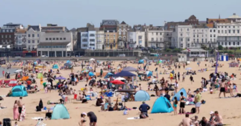
The Met Office has issued its latest verdict on whether another heatwave is on the way, with the UK having already basked in five heatwaves in 2026, with temperatures soaring above 35C.
Today (August 17) is set to see highs of 27C in southern England, but the warmth will gradually fade before "much cooler" air sweeps in from the north. By Thursday, the Met Office expects temperatures to fall "below average", accompanied by heavy slow-moving showers and thunderstorms for many parts of the country.
Today's Forecast
On Monday, the Met Office map shows temperatures reaching 27C in southern England, with highs of 25C across other parts of southern, central and eastern England. Wales and northern England could see highs of around 23C, while Belfast is shown reaching 19C and Scotland ranges from around 18C to 13C.
The Met Office said: "Feeling rather humid for many with light winds and very warm in the sunshine in the south. Considerably fresher in northeast Scotland."
Rain is expected to begin moving into the northwest later in the day, with forecasters saying: "Many places dry with a mixture of cloud and sunny spells. Isolated showers possible before rain, perhaps heavy, later, moves into Northern Ireland and western Scotland."
Cooling Trend
By Tuesday, temperatures will begin to fall, although southern England will remain warm. The Met Office map shows highs of 25C across parts of southern and eastern England, including around London, while Cardiff is shown reaching 22C and Belfast 18C.
Rain will also affect parts of Britain, with the forecaster adding: "Showery rain gradually clearing southern England, though perhaps returning later. Staying wet in northeast Scotland. Sunny intervals elsewhere with showers possible."
The cooling trend will continue on Wednesday. The Met Office forecasts: "Low pressure drifting south will bring a mixture of sunny spells and showers, these heaviest in the northwest. Warm in the southeast but cooler for most."
Thursday's Big Change
The biggest change is forecast to arrive on Thursday when much cooler and more unstable air pushes into Britain from the north. Forecasters said: "Much cooler and more unstable air moving in from the north. Heavy slow-moving showers and thunderstorms for many. Windy for some with temperatures below average."
Conditions are then expected to become drier for many on Friday, although the cooler weather will remain and thunderstorms are still possible in eastern areas. The Met Office said: "A drier day for many with showers becoming confined to the east as pressure rises in the west. Thunderstorms possible in eastern England. On the cool side and breezy in the east."
The forecast points away from another immediate heatwave during the working week, with temperatures instead expected to drop as cooler air arrives from the north. However, the forecast shown in the video only runs to Friday and does not rule out further hot weather later in the summer.




