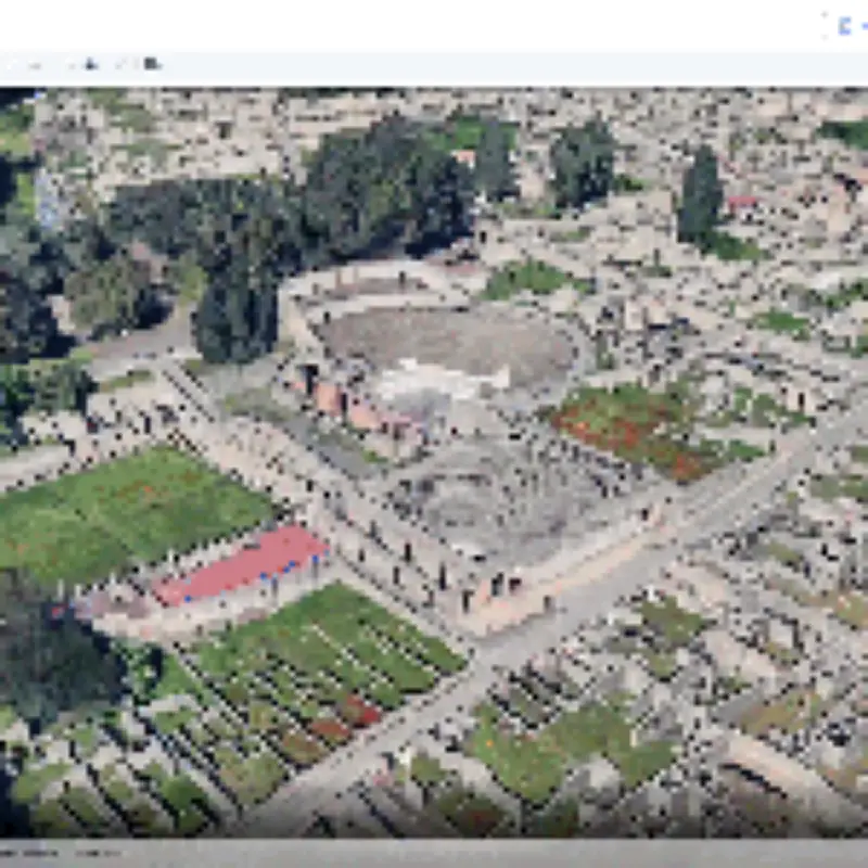
Google has rolled back its AI-powered image generation feature in Google Earth just 24 hours after it launched, after users and researchers manipulated real satellite imagery into fake scenes.
The tool, released free worldwide on Thursday, let people type a prompt into a 'Create Image' tab on the web version of Google Earth. Google's own examples showed a car park turned into a garden and a teacher showing what a site might have looked like in 78 AD, with the AI output sometimes appearing stylised or cartoon-like rather than photorealistic.
Critics were quick to find darker uses. AI researcher Henk van Ess wrote on X that he had typed a single sentence to put refugees near the Mexican border, plant a nuclear power station in Iran and add a fatal crash to an Amsterdam street, all sitting on genuine Google Earth imagery. 'What on earth is Google doing?' he asked. 404 Media said it created a bomb blast and crater in Los Angeles within around 10 seconds. The BBC generated images of a collapsed Eiffel Tower, a sinkhole swallowing the Great Pyramid of Giza and Russian tanks in Kyiv.

An experiment in Amsterdam
Van Ess also recorded himself prompting Nano Banana, Google's AI image model, to insert a 'traffic accident' in Amsterdam, asking for a crowd and high resolution. The model produced a red car that had smashed into the side of ROBO-BAR in De Weteringschans, with shattered glass across the road.
Van Ess said the ease of creating such fakes is the real problem. 'Every fake you could make with this tool was possible in Photoshop 20 years ago,' he told Metro. 'The barrier was never skill, it was effort.'
Satellite images as evidence
He pointed out that Google Earth is widely used by open-source intelligence researchers and journalists. 'A satellite image isn't a memory, it's a record – courts, insurers and war crimes investigators treat it as evidence of what stood on a patch of ground on a given day,' he said. A tool that makes it simple to alter that record, he argued, could be dangerous. 'You don't get better fakes, you get far more of them, from people who'd never have bothered,' he added. 'The forgery doesn't have to be convincing on its own. It inherits the credibility of the map it came from.'
Google's response
Google said on Friday that it takes 'misinformation seriously'. All content made by its AI tools carries an invisible watermark called SynthID, which its Gemini chatbot can detect. In a statement posted on X, Google said: 'We know that people uniquely trust Google Earth for a reliable view of the world. We've seen geospatial professionals using this feature for a range of useful purposes, however, we've also seen people sharing screenshots of generated imagery that appear to violate our policies. So we're rolling back this feature in Google Earth while we work on implementing stronger guardrails. It's important to note that generated images didn't appear in the main Google Earth experience for others to see and were watermarked as AI-generated.'
Google did not specify which images violated its policies. Van Ess questioned whether safeguards would hold, noting that AI images degrade every time they are screenshotted. 'So keep AI on the reading side of satellite imagery,' he said. 'Shelve it on the painting side.'
Similar move by Meta
The episode follows a similar U-turn at Meta, which last week pulled an AI tool that could edit people's public Instagram posts after a backlash. Users had to opt out manually if they did not want their photos used. Meta admitted three days later that it 'missed the mark' with the feature.