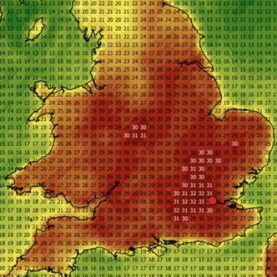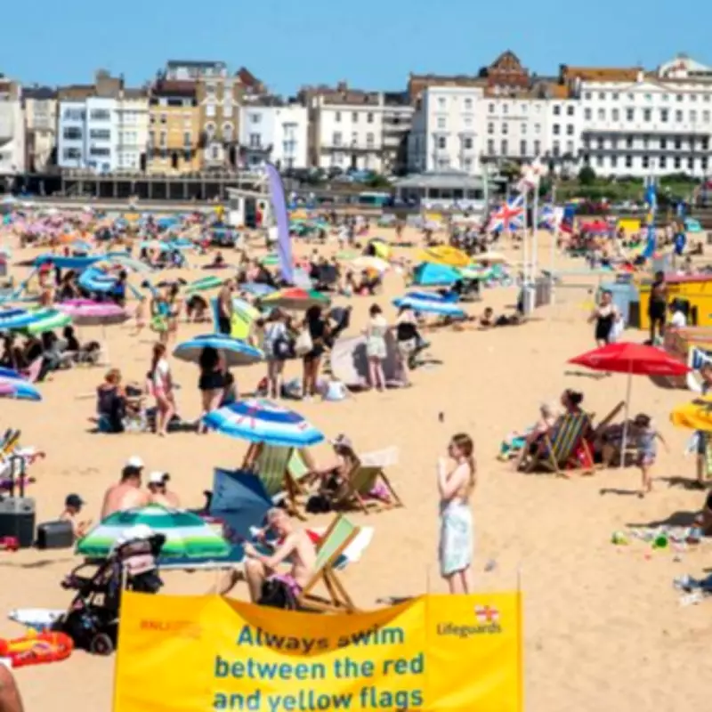
The scorching heatwave that has gripped the nation will finally come to an end this weekend, according to data from the Met Office. This week saw parts of the UK record the hottest May day ever, with temperatures hitting highs of 35.1C in London’s Kew Gardens and 32.9C at Bute Park in Cardiff.
Temperatures have gradually continued to rise throughout the week, with nearly all weather stations across England and Wales breaking their local temperature records for May. Six amber heat health alerts were also issued across south-west England, the West Midlands, East Midlands, east of England, the south-east and in London.
Although the tropical temperatures are set to continue for much of this week, parts of the country will receive a brief respite from the sweltering conditions on Wednesday, with cooler air in parts of the North, Midlands, and eastern England resulting in a 10C drop in temperature.

Midweek Temperature Fluctuations
Thursday will see another spike in temperature, as the supply of cool air will be cut off when hot air from France surges north, resulting in highs of 32C in London, the east Midlands, and parts of the south-west. Friday will remain mostly similar with a brief dip down to 29C.
The weekend will see temperatures slowly start to cool as the jet stream currently to the north of the country will gradually move south, leading to areas of low pressure, occasional rain, stronger winds and a drop in temperature across the UK as we head into the first week of June.
Sunday Marks the End of the Heatwave
By Sunday the warmest air is expected to have cleared away to the south, with temperatures closer to, though mostly above, average for the time of year across the whole of the UK. Sunday is the first day since last Friday that Met Office predictions show temperatures in southern areas peaking below the heatwave threshold (which varies from 28C to 25C across different UK counties).
Met Office peak temperature predictions for this week:
- Wednesday - 33C in south, 25C in north
- Thursday - 33C in south, 29C in north
- Friday - 29C in south, 24C in north
- Saturday - 29C in south, 24C in north
- Sunday - 24C in south, 20C in north
Met Office Chief Forecaster Andy Page said: “The exceptional late-spring heat is set to continue for much of this week. Last night provisionally recorded the warmest May night on record, and we’re likely to see further very warm nights in the south over the coming days. There is a chance a few places will experience a ‘tropical night’ in the south of England and in Wales tonight, which is where temperatures don’t fall below 20C.
“While many places will stay dry and sunny, the heat and humidity mean that a few isolated thunderstorms have developed with more possibly developing later today, particularly across parts of England. Looking further ahead, the focus for the highest temperatures will shift westwards on Wednesday, with northern areas feeling more of the warmth on Thursday.
“We’ll then see a gradual change later in the week, with temperatures easing slightly, though still above average, before a more marked change to near-normal temperatures by Sunday and an increased chance of showers and some longer spells of rain.”
Met Office meteorologist Alex Burkill said the “exceedingly hot” temperatures were “exceptional” and quite worrying. “It really is an exceptionally warm or very hot spell at the moment. For any time of the year it’s hot, but for May in particular – it is still meteorological spring. In terms of how ground-breaking, how historic it is – it’s very similar to that first time that we reached 40C. The fact that we’ve exceeded the May temperature by such an amount really is extraordinary and quite worrying.”